


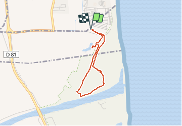

14.2 km | 16.9 km-effort


User GUIDE


FREE GPS app for hiking
 SityTrail
IGN / Geographical institutes
SityTrail World
The world is yours!
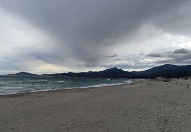
Trail Walking of 2.9 km to be discovered at Occitania, Pyrénées-Orientales, Elne. This trail is proposed by Orcal37.
Argelès Réserve naturelle du Mas Larrieu - 2.9km 10m 43mn - 2018 09 07

Walking

Walking

Equestrian

Walking
Walking

Walking
Walking
Walking
Walking