


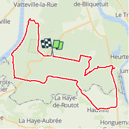

11 km | 13.7 km-effort


User


FREE GPS app for hiking
 SityTrail
IGN / Geographical institutes
SityTrail World
The world is yours!
Trail Mountain bike of 40 km to be discovered at Normandy, Seine-Maritime, Vatteville-la-Rue. This trail is proposed by tracegps.
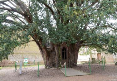
Un circuit facile dans le forêt de Brotonne - J'ai évité les segments non pavés à cause des récentes pluies intenses. Le circuit a un segment sur la route nationale, il faut être préparé avec gilet et éclairage. Il passe par le moulin à vent et par un point de bellevue qu'il ne faut pas manquer.

Walking

Equestrian

Walking
Mountain bike
Walking
Walking
Walking
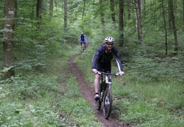
Mountain bike
Horseback riding
Il serait intéressant de pouvoir ouvrir au mois deux city guides en même temps