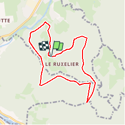

8.2 km | 12.4 km-effort

User


FREE GPS app for hiking
 SityTrail
IGN / Geographical institutes
SityTrail World
The world is yours!
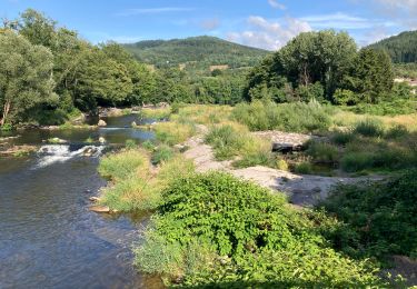
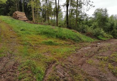
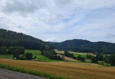
Trail Mountain bike of 8.1 km to be discovered at Grand Est, Vosges, Cheniménil. This trail is proposed by tracegps.
Espace VTT FFC Chemins du Cœur des Vosges - circuit n°34 - Bois Banis Circuit officiel labellisé par la Fédération Française de Cyclisme. Circuit sans difficultés particulières dans le massif du Fossard.

Walking

Running
Walking

Walking

Walking
Hybrid bike
Walking