


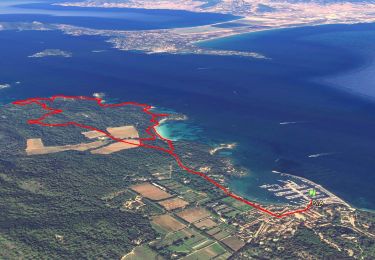
11.9 km | 14.2 km-effort


User


FREE GPS app for hiking
 SityTrail
IGN / Geographical institutes
SityTrail World
The world is yours!
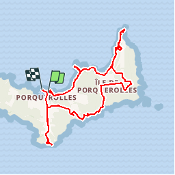
Trail Mountain bike of 21 km to be discovered at Provence-Alpes-Côte d'Azur, Var, Hyères. This trail is proposed by tracegps.
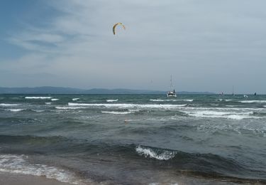
Très beau circuit sur le coté EST de l'île de Porquerolles. ATTENTION: portage VTT dans la montée vers le Mont des Salins sur 150 mètres environ.

Walking

Walking

Mountain bike

Walking

Walking
On foot
Walking
Walking
Walking
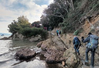
Des passages interdits aux vélos