


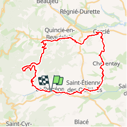

23 km | 36 km-effort


User


FREE GPS app for hiking
 SityTrail
IGN / Geographical institutes
SityTrail World
The world is yours!
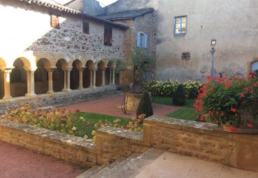
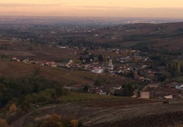
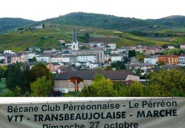
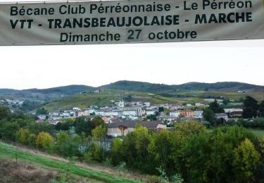
Trail Mountain bike of 36 km to be discovered at Auvergne-Rhône-Alpes, Rhône, Le Perréon. This trail is proposed by tracegps.
Circuit organisé par le club FFCT Le Perreon le 26/10/09. Durée entre 3h30 et 4h00. Parcours varié . Dénivelé 1000 Mètres. Longue montée dans la deuxième moitie du parcours de 250 m a 750 m.
On foot
On foot

Walking
Walking
Walking
Walking
Walking
Mountain bike
Mountain bike