


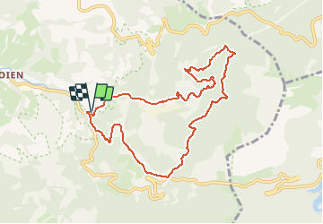


11.6 km | 17.2 km-effort


User


FREE GPS app for hiking
 SityTrail
IGN / Geographical institutes
SityTrail World
The world is yours!
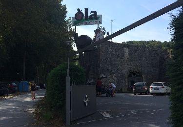
Trail Walking of 9.4 km to be discovered at Autonomous Community of the Basque Country, Gipuzkoa, Oiartzun. This trail is proposed by georgein.
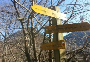
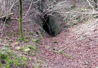
tite balade autour des mines d'Arditurri.
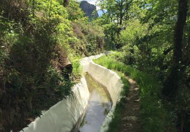
Très jolis sous-bois avec présence de nombreux petits cours d'eau et de sentiers.
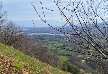
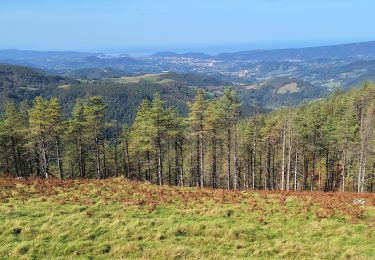
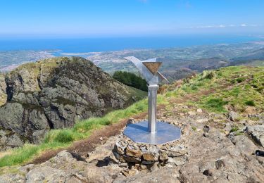
Sur les hauteurs, et par beau temps, vue sur la baie de San Sebastien et de son rocher.

Walking
Walking
Walking
Walking
Walking
Walking
Walking
Walking
Walking