
Du sommet de la Rhune à Sare

georgein
User

Length
6.9 km

Max alt
899 m

Uphill gradient
22 m

Km-Effort
10 km

Min alt
60 m

Downhill gradient
849 m
Boucle
No
Creation date :
2019-08-04 09:20:40.784
Updated on :
2020-01-31 20:30:10.585
1h37
Difficulty : Unknown

FREE GPS app for hiking
About
Trail Walking of 6.9 km to be discovered at New Aquitaine, Pyrénées-Atlantiques, Sare. This trail is proposed by georgein.
Description
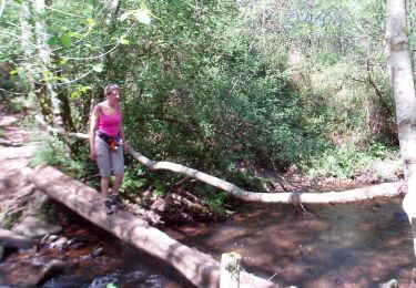
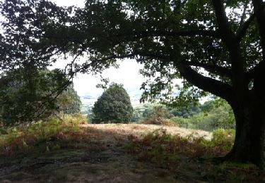
Après avoir gagné le sommet de la Rhune par son petit train (jolie montée), nous redescendons vers le village de Sare. Joli passage en sous-bois en côtoyant par instant les chevaux en liberté
Positioning
Country:
France
Region :
New Aquitaine
Department/Province :
Pyrénées-Atlantiques
Municipality :
Sare
Location:
Unknown
Start:(Dec)
Start:(UTM)
610672 ; 4796047 (30T) N.
Comments
Trails nearby

ascain Sare ascain


Walking
Medium
(1)
Ascain,
New Aquitaine,
Pyrénées-Atlantiques,
France

18.8 km | 27 km-effort
4h 39min
Yes

Montagne de Ciboure - Trabenea


Walking
Medium
(2)
Urrugne,
New Aquitaine,
Pyrénées-Atlantiques,
France

8.6 km | 13.3 km-effort
2h 30min
Yes

La rhune par la face EST


Walking
Medium
(1)
Sare,
New Aquitaine,
Pyrénées-Atlantiques,
France

13.8 km | 26 km-effort
5h 10min
Yes

sare les palombieres


Walking
Easy
Sare,
New Aquitaine,
Pyrénées-Atlantiques,
France

15.8 km | 24 km-effort
4h 44min
Yes

la rhune depuis Sare (2)


Walking
Very easy
(4)
Sare,
New Aquitaine,
Pyrénées-Atlantiques,
France

13.9 km | 26 km-effort
4h 0min
Yes

rhune


Walking
Medium
(1)
Urrugne,
New Aquitaine,
Pyrénées-Atlantiques,
France

11.9 km | 24 km-effort
4h 43min
Yes

64-Olhette-20110417


Mountain bike
Difficult
(2)
Urrugne,
New Aquitaine,
Pyrénées-Atlantiques,
France

33 km | 49 km-effort
3h 30min
Yes

la rhune depuis olhette


Walking
Medium
(2)
Ascain,
New Aquitaine,
Pyrénées-Atlantiques,
France

9.8 km | 20 km-effort
Unknown
Yes

Ascain_Col St Ignace


Walking
Medium
(1)
Ascain,
New Aquitaine,
Pyrénées-Atlantiques,
France

7 km | 9.3 km-effort
2h 6min
Yes


 SityTrail


