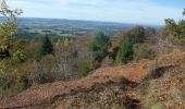
Trail Walking Ceyssat - Puy de Barme - Allagnat - Photo
 tracegps
tracegps

User

© OpenStreetMap contributors
Length
Length
10.4 km
Max alt
Max alt
1093 m
Uphill gradient
Uphill gradient
226 m
Km-Effort
Km-Effort  
13.4 km
Min alt
Min alt
894 m
Downhill gradient
Downhill gradient
228 m
Boucle
Boucle
Yes
Creation date :
2014-12-10 00:00:00.0
Updated on :
2014-12-10 00:00:00.0

(0 Reviews)

Walking
Walking
3h10
Difficulty : Difficult

Scan this QR Code to open this trail in the SityTrail application

FREE GPS app for hiking

Logo SityTrail SityTrail

IGN / Geographical institutes

Download SityTrail from the App Store Download SityTrail from Google Play

Logo SityTrail SityTrail World

The world is yours!

Download SityTrail from the App Store Download SityTrail from Google Play Download SityTrail on Huawei AppGallery

About

Trail Walking of 10.4 km to be discovered at Auvergne-Rhône-Alpes, Puy-de-Dôme, Ceyssat. This trail is proposed by tracegps.

Description

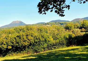
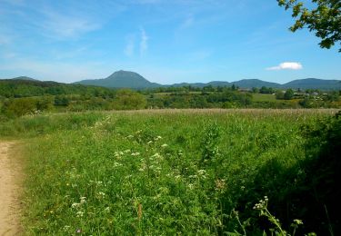
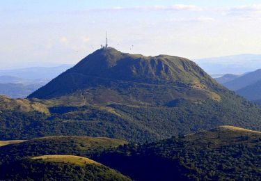
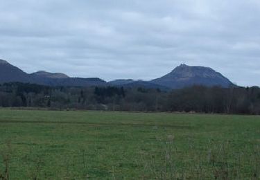
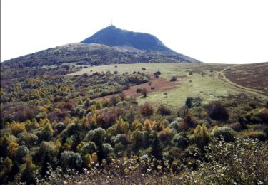
La balade depuis le village d'Allagnat traverse d'abord une remarquable hêtraie dont certains sujets ont entre 120 et 150 ans. Les fûts de forte grosseur sont exceptionnels! Puis à l'approche du Puy de Barme, après la ligne à moyenne tension, on monte à travers les hêtres jusqu'au sommet du Puy de Barme guidé par son GPS dont l'usage prend ici tout son sens. Sur la crête, deux points de vue peu classiques s'offrent au randonneur. La descente, toujours parmi les hêtres, un peu raide au début, longe ensuite en pente douce une ancienne carrière. La fin de l'itinéraire est plat et sur de larges chemins.

Elevation profile

Photos

Positioning

Country:
France
Region :
Auvergne-Rhône-Alpes
Department/Province :
Puy-de-Dôme
Municipality :
Ceyssat
Location:
Unknown
Start:(UTM)
493577 ; 5066305 (31T) N.

Trails nearby

Trail Walking Saint-Bonnet-près-Orcival - St_Bonnet_Orcival_Sioule - Photo
Walking
GUIDE
jagarnier

Walking

Easy
(1)
Saint-Bonnet-près-Orcival, Auvergne-Rhône-Alpes, Puy-de-Dôme, France
9.4 km | 11.8 km-effort
2h 45min
Yes
Trail Walking Mazaye - Mazaye - Photo
Walking
Gegetop

Walking

Easy
(1)
Mazaye, Auvergne-Rhône-Alpes, Puy-de-Dôme, France
14.5 km | 18 km-effort
3h 29min
Yes
Trail Walking Orcines - Ceyssat_Puy_Dome - Photo
Walking
GUIDE
jagarnier

Walking

Medium
(2)
Orcines, Auvergne-Rhône-Alpes, Puy-de-Dôme, France
7.3 km | 12.3 km-effort
2h 15min
Yes
Trail Walking Mazaye - Autour de Mazayes - Photo
Walking
tracegps

Walking

Difficult
(1)
Mazaye, Auvergne-Rhône-Alpes, Puy-de-Dôme, France
19.3 km | 24 km-effort
5h 40min
Yes
Trail Walking Orcines - Le tour du Puy de Dôme - Photo
Walking
tracegps

Walking

Difficult
(1)
Orcines, Auvergne-Rhône-Alpes, Puy-de-Dôme, France
12.2 km | 17.3 km-effort
3h 0min
Yes
Trail On foot Olby - Boucle des dômes - Photo
On foot
GUIDE+

On foot

Difficult
Olby, Auvergne-Rhône-Alpes, Puy-de-Dôme, France
24 km | 34 km-effort
7h 46min
No
Trail On foot Ceyssat - Le Puy de Dôme - Photo
On foot
GUIDE+

On foot

Easy
Ceyssat, Auvergne-Rhône-Alpes, Puy-de-Dôme, France
7 km | 12 km-effort
2h 44min
Yes
Trail On foot Nébouzat - Le Puy de Pourcharet - Photo
On foot
GUIDE+

On foot

Medium
Nébouzat, Auvergne-Rhône-Alpes, Puy-de-Dôme, France
19 km | 24 km-effort
5h 23min
Yes
Trail On foot Saint-Genès-Champanelle - Mazaye / Laschamp - Photo
On foot
GUIDE+

On foot

Medium
Saint-Genès-Champanelle, Auvergne-Rhône-Alpes, Puy-de-Dôme, France
21 km | 30 km-effort
6h 46min
No


Close
My subscriptions