
Rando Pons 35km

tracegps
User

Length
34 km

Max alt
66 m

Uphill gradient
366 m

Km-Effort
39 km

Min alt
12 m

Downhill gradient
366 m
Boucle
Yes
Creation date :
2014-12-10 00:00:00.0
Updated on :
2014-12-10 00:00:00.0
2h30
Difficulty : Medium

FREE GPS app for hiking
About
Trail Mountain bike of 34 km to be discovered at New Aquitaine, Charente-Maritime, Pons. This trail is proposed by tracegps.
Description
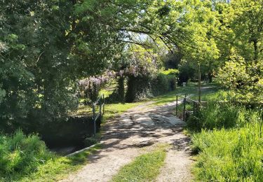
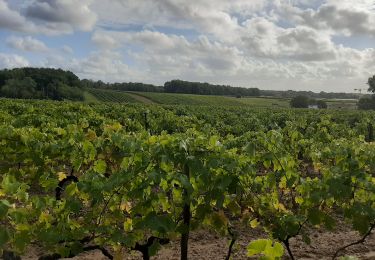
Départ depuis la place de l'Europe,la première boucle(sud-est)est très agréable et roulante,la seconde (nord-ouest) plus technique. Suivre la trace GPS , @ Michel
Positioning
Country:
France
Region :
New Aquitaine
Department/Province :
Charente-Maritime
Municipality :
Pons
Location:
Unknown
Start:(Dec)
Start:(UTM)
690957 ; 5050374 (30T) N.
Comments
Trails nearby

Pons


Walking
Difficult
Pons,
New Aquitaine,
Charente-Maritime,
France

10.9 km | 12.4 km-effort
2h 53min
Yes

Pons et les seugnes


Walking
Very easy
Pons,
New Aquitaine,
Charente-Maritime,
France

5.7 km | 6.6 km-effort
1h 42min
Yes

petit tour autour de pons 17800


Walking
Easy
Pons,
New Aquitaine,
Charente-Maritime,
France

7.9 km | 9.3 km-effort
2h 35min
Yes

Rando Avy 35km Sept 2009


Mountain bike
Medium
Avy,
New Aquitaine,
Charente-Maritime,
France

31 km | 36 km-effort
2h 30min
Yes

villars en pons


Walking
Easy
Pons,
New Aquitaine,
Charente-Maritime,
France

2.3 km | 2.5 km-effort
2h 52min
Yes

Saint Léger muguet


Walking
Very difficult
Saint-Léger,
New Aquitaine,
Charente-Maritime,
France

22 km | 24 km-effort
2h 52min
No

roro


Walking
Easy
Pons,
New Aquitaine,
Charente-Maritime,
France

4.6 km | 5.1 km-effort
1h 52min
Yes

roro


Walking
Easy
Pons,
New Aquitaine,
Charente-Maritime,
France

9.3 km | 10.6 km-effort
3h 1min
Yes

un tour à Pons


Walking
Very easy
Pons,
New Aquitaine,
Charente-Maritime,
France

5.7 km | 6.4 km-effort
2h 5min
Yes


 SityTrail


