


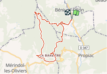


14.9 km | 22 km-effort

User


FREE GPS app for hiking
 SityTrail
IGN / Geographical institutes
SityTrail World
The world is yours!
Trail Walking of 9.8 km to be discovered at Auvergne-Rhône-Alpes, Drôme, Bénivay-Ollon. This trail is proposed by tracegps.
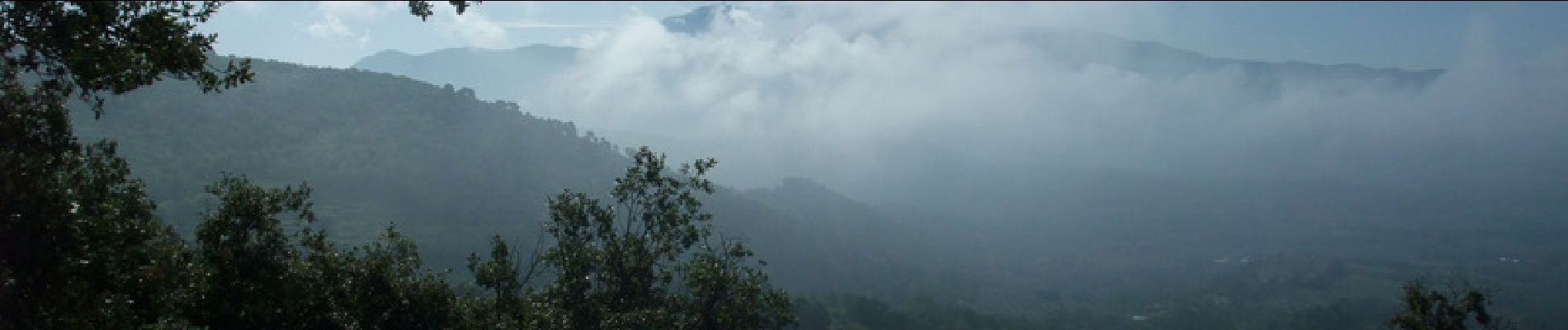
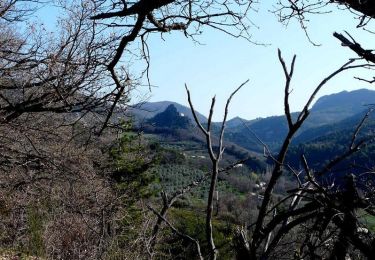
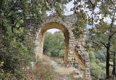
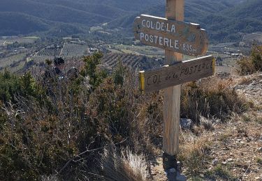
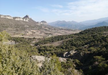
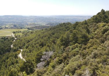
Départ à 2 km au Nord de Propiac, après un petit pont sur le ruisseau de l’Eyguemarse. L’itinéraire ombragé, parmi les chênes verts, s’élève jusqu’au « Vieux Village », sa tour, les ruines d’un ancien château féodal, et laisse de très belles vues tout au long du trajet.


Walking
Walking
Walking
Walking
Walking

Walking

Walking
Walking
Walking
Super application
Belle randonnée. vue sur le mont ventoux. Le vieux village est une belle curiosité. merci au contributeur.