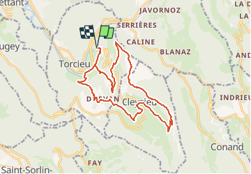

10 km | 16.2 km-effort

User


FREE GPS app for hiking
 SityTrail
IGN / Geographical institutes
SityTrail World
The world is yours!
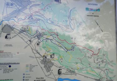
Trail Walking of 18.8 km to be discovered at Auvergne-Rhône-Alpes, Ain, Torcieu. This trail is proposed by Thomasdanielle.
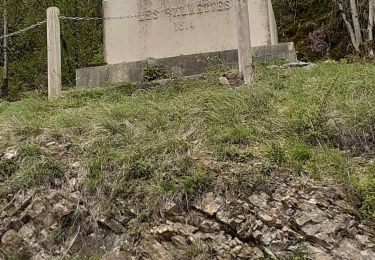
D/A Avant le passage à niveau de Montferrant
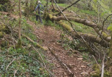
Randonnée difficile avec des mains courantes, sur chemin étroit. DANGER réserver à des sportifs


Walking

Walking

Other activity
Walking
Walking
Walking
Walking
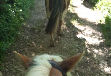
Horseback riding