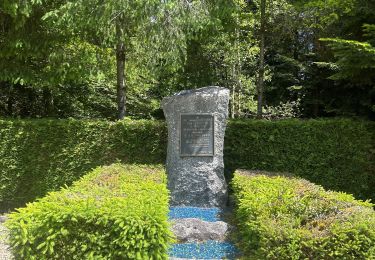
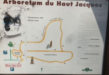
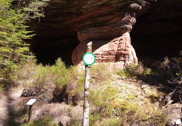
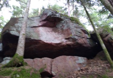
Trail Cycle Les Rouges-Eaux - rouges eaux - Photo
© OpenStreetMap contributors
Length
Length
42 km
Max alt
Max alt
600 m
Uphill gradient
Uphill gradient
835 m
Km-Effort
Km-Effort  
53 km
Min alt
Min alt
351 m
Downhill gradient
Downhill gradient
831 m
Boucle
Boucle
Yes
Creation date :
2019-01-15 16:03:03.159
Updated on :
2020-07-05 08:11:05.91

(0 Reviews)

Cycle
Cycle
3h03
Difficulty : Unknown
Electric bike
Electric bike
--
Difficulty : Very easy

Scan this QR Code to open this trail in the SityTrail application

FREE GPS app for hiking

Logo SityTrail SityTrail

IGN / Geographical institutes

Download SityTrail from the App Store Download SityTrail from Google Play

Logo SityTrail SityTrail World

The world is yours!

Download SityTrail from the App Store Download SityTrail from Google Play Download SityTrail on Huawei AppGallery

About

Trail Cycle of 42 km to be discovered at Grand Est, Vosges, Les Rouges-Eaux. This trail is proposed by gmalgrase.

Description

Parking devant la mairie.  2 km de chemin forestier en bon état. Bonne côte pour monter vers Mortagne. Traversée des superbes hameaux du village. Descente agréable  vers Rouges eaux , puis solide montée de 4 à 5 km avant de plonger vers Biffontaine. Quelques km sur départementale roulante avec peu de circulation. Petite montée dans Vanemont puis longue descente de 8km dans un joli vallon jusqu'à l'arrivée.  Très belle balade dans un coin tranquille...

Elevation profile

Positioning

Country:
France
Region :
Grand Est
Department/Province :
Vosges
Municipality :
Les Rouges-Eaux
Location:
Unknown
Start:(UTM)
336871 ; 5347844 (32U) N.

Trails nearby

Trail Walking La Houssière - Marmonfosse - Photo
Walking
francoisecarlier

Walking

Medium
La Houssière, Grand Est, Vosges, France
15.4 km | 20 km-effort
4h 35min
Yes
Trail On foot Les Rouges-Eaux - circuit poussettes du col du Haut Jacques  - Photo
On foot
salomé

On foot

Easy
Les Rouges-Eaux, Grand Est, Vosges, France
1.4 km | 1.6 km-effort
21min
Yes
Trail Geocaching La Bourgonce - cepes - Photo
Geocaching
S CHAMPAGNE

Geocaching

Very easy
La Bourgonce, Grand Est, Vosges, France
10 km | 11.5 km-effort
1h 45min
No
Trail Mountain bike Bois-de-Champ - 170722 - Photo
Mountain bike
jeanvosges

Mountain bike

Difficult
Bois-de-Champ, Grand Est, Vosges, France
22 km | 32 km-effort
3h 20min
Yes
Trail Walking Mortagne - Les jumeaux - Photo
Walking
lacote

Walking

Difficult
Mortagne, Grand Est, Vosges, France
16.2 km | 23 km-effort
5h 36min
Yes
Trail Walking Saint-Michel-sur-Meurthe - Saint-Michel-sur-Meurthe  - Photo
Walking
DanielROLLET

Walking

Medium
Saint-Michel-sur-Meurthe, Grand Est, Vosges, France
19.2 km | 27 km-effort
5h 50min
Yes
Trail Mountain bike Mortagne - depart ht jacques - Photo
Mountain bike
fthiery

Mountain bike

Very easy
Mortagne, Grand Est, Vosges, France
51 km | 74 km-effort
4h 35min
Yes
Trail Walking Saint-Michel-sur-Meurthe - col des 4 chemins - Photo
Walking
Pascal Raon

Walking

Difficult
Saint-Michel-sur-Meurthe, Grand Est, Vosges, France
11.5 km | 15.1 km-effort
3h 47min
Yes
Trail Quad Les Rouges-Eaux - Papa 1 - Photo
Quad
001383.01e5f5da95c847a280d06c38d6d93ee5.2023

Quad

Les Rouges-Eaux, Grand Est, Vosges, France
39 km | 48 km-effort
59min
No


Close
My subscriptions