


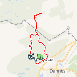

11.6 km | 15.4 km-effort


User


FREE GPS app for hiking
 SityTrail
IGN / Geographical institutes
SityTrail World
The world is yours!
Trail Walking of 6.4 km to be discovered at Hauts-de-France, Pas-de-Calais, Dannes. This trail is proposed by tracegps.
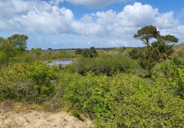
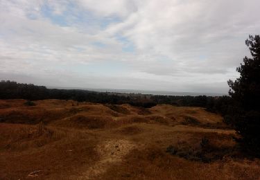
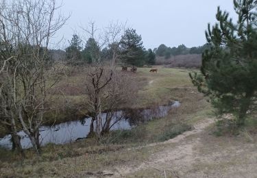
Une des plus belles balades de la côte d'Opale, qui nous conduit à travers bois et dunes au sommet du Mont St Frieux d'où l'on découvre un panorama qui va du Touquet à Neufchâtel Hardelot. (Voir le circuit 138 déposé en 2006 - note de Tracegps)


Walking

Walking
Walking
Walking

Walking
Walking

Walking

Walking
Walking