


3.3 km | 3.6 km-effort

User


FREE GPS app for hiking
 SityTrail
IGN / Geographical institutes
SityTrail World
The world is yours!
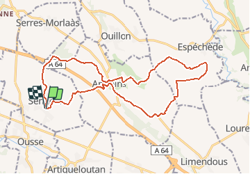
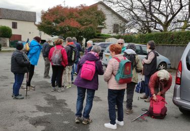
Trail Walking of 20 km to be discovered at New Aquitaine, Pyrénées-Atlantiques, Sendets. This trail is proposed by tracegps.
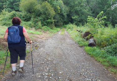
Voila un petit circuit facile (en VTT) que l'on peut effectuer en famille ... ou en guise de décrassage au lendemain d'une belle randonnée dans les Pyrénées. Il serpente entre les champs de maïs et entre les ruisseaux du Luy de France, du Biarré et de la Souye. Lorsque le temps est clair (et le maïs pas trop haut) il nous offre un panorama bien sympathique sur la chaîne des Pyrénées.


Walking


sport

Walking

Walking
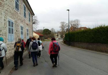
Walking
Walking
Walking
Walking
Walking