


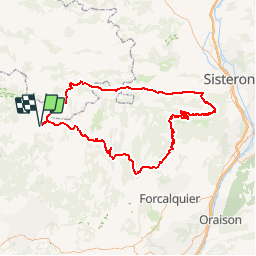


12.6 km | 16.5 km-effort


User


FREE GPS app for hiking
 SityTrail
IGN / Geographical institutes
SityTrail World
The world is yours!
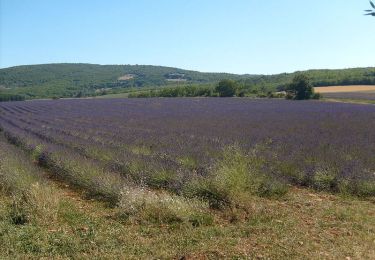
Trail Cycle of 133 km to be discovered at Provence-Alpes-Côte d'Azur, Vaucluse, Sault. This trail is proposed by tracegps.
Boucle départ Sault direction Banon, St Etienne les Orgues, montée de la montagne Lure 1° moitié dure passage pas de la Graille descente sur la vallée du Jabron, Montfroc , col de Macuègne et col de l'homme mort, retour sur Sault.
Walking
Walking
Walking
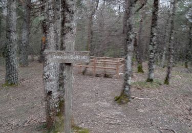
Walking
On foot

Mountain bike

Mountain bike
Walking

Cycle