


4 km | 4.3 km-effort


User


FREE GPS app for hiking
 SityTrail
IGN / Geographical institutes
SityTrail World
The world is yours!
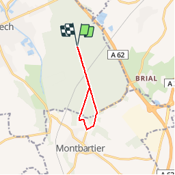
Trail Running of 7.6 km to be discovered at Occitania, Tarn-et-Garonne, Montech. This trail is proposed by tracegps.
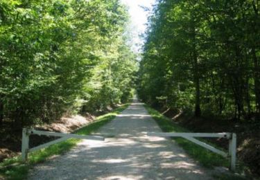
Entre Tarn et Garonne, la forêt d’Agre, ou forêt de Montech étire sa forme de goutte d’eau sur 1474 hectares, entre Montech et Montauban, au cœur du pays montalbanais. Pour les VTTistes toulousains, une alternative à Bouconne à 40mn de Toulouse Nord.

Electric bike
Walking

Mountain bike
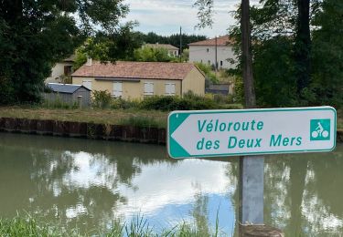
Bicycle tourism

Walking
Mountain bike
Walking
Walking