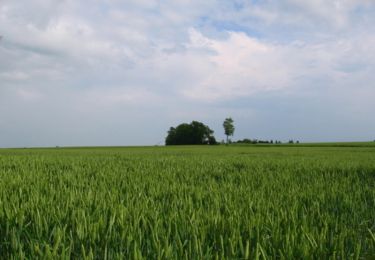
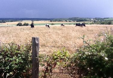
Trail Walking Souillé - Souillé circuit chanvre  - Photo

Souillé circuit chanvre

© OpenStreetMap contributors
Length
Length
8.8 km
Max alt
Max alt
82 m
Uphill gradient
Uphill gradient
63 m
Km-Effort
Km-Effort  
9.6 km
Min alt
Min alt
49 m
Downhill gradient
Downhill gradient
62 m
Boucle
Boucle
Yes
Creation date :
2019-04-24 17:16:43.622
Updated on :
2019-04-24 17:16:43.723

(1 Reviews)

Walking
Walking
2h00
Difficulty : Very easy

Scan this QR Code to open this trail in the SityTrail application

FREE GPS app for hiking

Logo SityTrail SityTrail

IGN / Geographical institutes

Download SityTrail from the App Store Download SityTrail from Google Play

Logo SityTrail SityTrail World

The world is yours!

Download SityTrail from the App Store Download SityTrail from Google Play Download SityTrail on Huawei AppGallery

About

Trail Walking of 8.8 km to be discovered at Pays de la Loire, Sarthe, Souillé. This trail is proposed by uyuniness.

Description

Un parcours pour retracer l’histoire de la culture du chanvre à souillé.

Elevation profile

Photos

Positioning

Country:
France
Region :
Pays de la Loire
Department/Province :
Sarthe
Municipality :
Souillé
Location:
Unknown
Start:(UTM)
290454 ; 5333219 (31U) N.

Comments

Please log in to post a review or rate the element


Trails nearby

Trail Cycle Joué-l'Abbé - Cols en Sarthe et Mayenne - Photo
Cycle
bosses21

Cycle

Medium
Joué-l'Abbé, Pays de la Loire, Sarthe, France
119 km | 140 km-effort
7h 55min
Yes
Trail Cycle Joué-l'Abbé - Cols en Sarthe - Photo
Cycle
bosses21

Cycle

Medium
Joué-l'Abbé, Pays de la Loire, Sarthe, France
104 km | 120 km-effort
6h 51min
No
Trail Nordic walking Neuville-sur-Sarthe - Neuville sur Sarthe  - Photo
Nordic walking
mamyzine

Nordic walking

Medium
Neuville-sur-Sarthe, Pays de la Loire, Sarthe, France
7.4 km | 8 km-effort
1h 37min
Yes
Trail Walking Sainte-Jamme-sur-Sarthe - La Sarthe-04-Montbizot - Le Mans - Photo
Walking
SERUS

Walking

Easy
Sainte-Jamme-sur-Sarthe, Pays de la Loire, Sarthe, France
22 km | 23 km-effort
5h 9min
No
Trail Mountain bike La Bazoge - Circuit du Roussard - La Bazoge - Photo
Mountain bike
tracegps

Mountain bike

Medium
La Bazoge, Pays de la Loire, Sarthe, France
23 km | 28 km-effort
1h 10min
Yes
Trail Walking La Bazoge - La Bazoge - Photo
Walking
Manoto

Walking

Very easy
(2)
La Bazoge, Pays de la Loire, Sarthe, France
15.5 km | 18.9 km-effort
Unknown
Yes
Trail Walking Souillé - Ste Jamme - La Bazoge - Photo
Walking
Arnoldr8491

Walking

Very easy
Souillé, Pays de la Loire, Sarthe, France
4.4 km | 4.9 km-effort
2h 16min
No
Trail Walking La Bazoge - Super U chemin Creu - Photo
Walking
Clément Baldzuhn

Walking

Easy
La Bazoge, Pays de la Loire, Sarthe, France
4.3 km | 5.2 km-effort
1h 10min
Yes
Trail Nordic walking Neuville-sur-Sarthe - Neuville-sur-Sarthe super grand tour - Photo
Nordic walking
mamyzine

Nordic walking

Medium
Neuville-sur-Sarthe, Pays de la Loire, Sarthe, France
10.1 km | 11 km-effort
2h 22min
Yes


Close
My subscriptions