


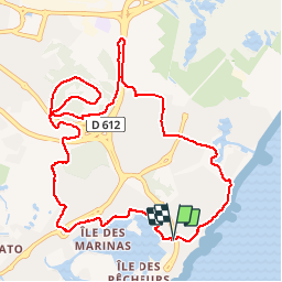

10.3 km | 12.5 km-effort


User


FREE GPS app for hiking
 SityTrail
IGN / Geographical institutes
SityTrail World
The world is yours!
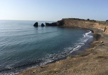
Trail Walking of 12.1 km to be discovered at Occitania, Hérault, Agde. This trail is proposed by GerardBouche.
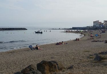
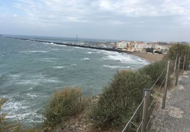
Très beau parcours par les quais piétonniers, le golf du Cap et superbe vue sur le Bassin de Thau. Le retour par de belles pistes et les plages du Môle.
 - Photo 1")
 - Photo 2")
 - Photo 3")
 - Photo 4")
 - Photo 5")
 - Photo 6")
 - Photo 7")
 - Photo 8")
Walking
Walking

Walking

Nordic walking

Walking

Mountain bike

Walking