


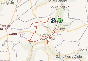

12.2 km | 16 km-effort


User


FREE GPS app for hiking
 SityTrail
IGN / Geographical institutes
SityTrail World
The world is yours!
Trail Mountain bike of 14.4 km to be discovered at Hauts-de-France, Aisne, Laversine. This trail is proposed by tracegps.
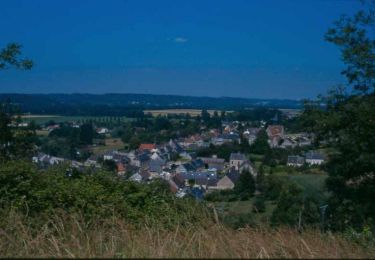
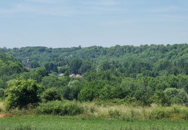
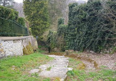
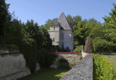
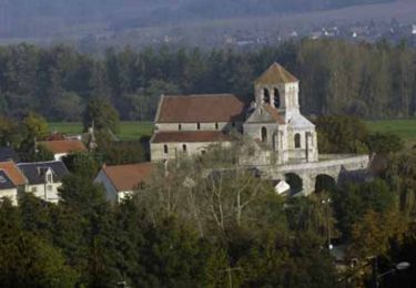
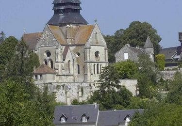
Bois,plaine,village, route secondaire et chemins.
Walking
Walking
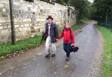

Walking
Walking
Walking
Walking
Walking
Walking