13.1 km | 16.6 km-effort
7,2kHautPichotHalinghem
Robert62
User
Length
7.2 km
Max alt
172 m
Uphill gradient
175 m
Km-Effort
9.5 km
Min alt
82 m
Downhill gradient
175 m
Boucle
Yes
Creation date :
2019-01-15 15:52:44.565
Updated on :
2019-01-15 15:52:44.565
2h01
Difficulty : Medium
FREE GPS app for hiking
About
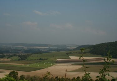
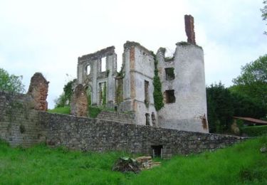
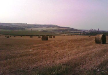
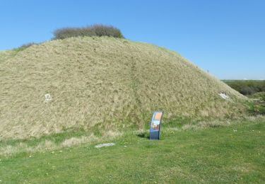
Trail Walking of 7.2 km to be discovered at Hauts-de-France, Pas-de-Calais, Halinghen. This trail is proposed by Robert62.
Description
Petite randonnée en boucle au départ de Halinghen
Positioning
Country:
France
Region :
Hauts-de-France
Department/Province :
Pas-de-Calais
Municipality :
Halinghen
Location:
Unknown
Start:(Dec)
Start:(UTM)
407306 ; 5606373 (31U) N.
Comments
Trails nearby
Du Witrepin à la Dordonne - Frencq
Walking
Difficult
(2)
Frencq,
Hauts-de-France,
Pas-de-Calais,
France
3h 19min
Yes
Mont Violette - Nesles
Walking
Medium
(1)
Nesles,
Hauts-de-France,
Pas-de-Calais,
France
11.6 km | 15.4 km-effort
3h 0min
Yes
Le chemin de Cappe - Samer
Walking
Medium
(1)
Samer,
Hauts-de-France,
Pas-de-Calais,
France
10.7 km | 13.2 km-effort
3h 0min
Yes
Le Mont Corbeau - Samer
Walking
Difficult
Samer,
Hauts-de-France,
Pas-de-Calais,
France
10.1 km | 12.6 km-effort
3h 0min
Yes
Le Haut Pichot - Samer
Mountain bike
Difficult
Samer,
Hauts-de-France,
Pas-de-Calais,
France
32 km | 39 km-effort
3h 0min
Yes
Le Haut Pichot - Samer
Walking
Difficult
Samer,
Hauts-de-France,
Pas-de-Calais,
France
32 km | 39 km-effort
7h 0min
Yes
Du Witrepin à la Dordonne - Frencq
Mountain bike
Medium
Frencq,
Hauts-de-France,
Pas-de-Calais,
France
13.1 km | 16.6 km-effort
1h 30min
Yes
De la Glaisière au Vouroux
Walking
Medium
(1)
Neufchâtel-Hardelot,
Hauts-de-France,
Pas-de-Calais,
France
15.4 km | 17.7 km-effort
3h 30min
Yes
Sentier de la Motte Castrale - Nesles
Walking
Easy
Nesles,
Hauts-de-France,
Pas-de-Calais,
France
2.1 km | 2.8 km-effort
30min
Yes