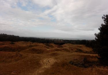
Trail Walking Condette - Routes forestières - Neufchatel - Hardelot - Photo

Routes forestières - Neufchatel - Hardelot

 tracegps
tracegps

User

© OpenStreetMap contributors
Length
Length
11.3 km
Max alt
Max alt
66 m
Uphill gradient
Uphill gradient
139 m
Km-Effort
Km-Effort  
13.2 km
Min alt
Min alt
25 m
Downhill gradient
Downhill gradient
139 m
Boucle
Boucle
Yes
Creation date :
2014-12-10 00:00:00.0
Updated on :
2014-12-10 00:00:00.0

(1 Reviews)

Walking
Walking
2h30
Difficulty : Medium

Scan this QR Code to open this trail in the SityTrail application

FREE GPS app for hiking

Logo SityTrail SityTrail

IGN / Geographical institutes

Download SityTrail from the App Store Download SityTrail from Google Play

Logo SityTrail SityTrail World

The world is yours!

Download SityTrail from the App Store Download SityTrail from Google Play Download SityTrail on Huawei AppGallery

About

Trail Walking of 11.3 km to be discovered at Hauts-de-France, Pas-de-Calais, Condette. This trail is proposed by tracegps.

Description

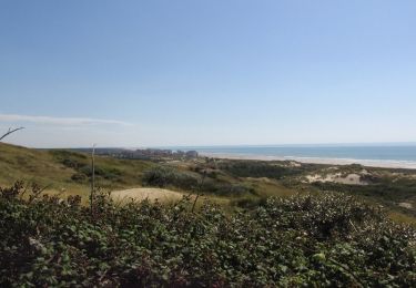
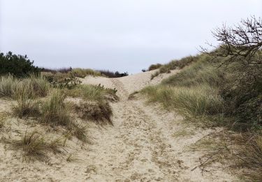
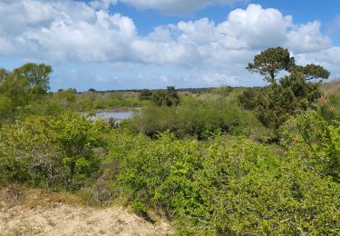
Cette randonnée emprunte des anciennes routes, fermées pour la plupart à la circulation aujourd'hui. On se retrouve à se balader dans le silence de cette forêt, avec les oiseaux, les odeurs, l'ambiance relative à cet environnement. Au petit main, cette randonnée est vraiment dépaysante. Pour le départ, le petit chemin sur la D119, face à la rue John Wembley menant à Hardelot, est pratique, mais d'autres possibilités sont envisageables. Pour tous les passionnés de la nature. Deux petits bémols : quand on traverse la D940, et aussi à la fin, le petit tronçon sur la D119.

Elevation profile

Positioning

Country:
France
Region :
Hauts-de-France
Department/Province :
Pas-de-Calais
Municipality :
Condette
Location:
Unknown
Start:(UTM)
402603 ; 5609538 (31U) N.

Comments

Please log in to post a review or rate the element


bonne balade mais trop de macadam à mon goût et le chemin pour longer Montaigu a presque disparu ( le passage à la Indiana Jones a quand même bien plu aux chiens ) les passages le long des routes nationales pourraient être évitées par des chemins forestiers. Ce fut tout de même un bon moment de marche en forêt. Merci


Trails nearby

Trail Walking Saint-Étienne-au-Mont - Plages et Dunes d'Ecault - Saint-Étienne au Mont - Photo
Walking
tracegps

Walking

Medium
(2)
Saint-Étienne-au-Mont, Hauts-de-France, Pas-de-Calais, France
5.7 km | 7.1 km-effort
1h 45min
Yes
Trail Walking Nesles - Mont Violette - Nesles - Photo
Walking
tracegps

Walking

Medium
(1)
Nesles, Hauts-de-France, Pas-de-Calais, France
11.6 km | 15.4 km-effort
3h 0min
Yes
Trail Walking Équihen-Plage - Le sentier des dunes   - Photo
Walking
GUIDE+

Walking

Easy
(2)
Équihen-Plage, Hauts-de-France, Pas-de-Calais, France
5.5 km | 6.9 km-effort
1h 59min
Yes
Trail Walking Dannes - Le Mont Saint Frieux - Photo
Walking
tracegps

Walking

Easy
(1)
Dannes, Hauts-de-France, Pas-de-Calais, France
6.1 km | 7.8 km-effort
2h 0min
Yes
Trail Nordic walking Neufchâtel-Hardelot - 2024-08-06_10h26m28_COURSE_295558041 - Photo
Nordic walking
denissculier

Nordic walking

Easy
(1)
Neufchâtel-Hardelot, Hauts-de-France, Pas-de-Calais, France
4.5 km | 4.9 km-effort
1h 3min
Yes
Trail Walking Dannes - DANNES MONT SAINT PRIEUX - Photo
Walking
pastoun

Walking

Medium
(1)
Dannes, Hauts-de-France, Pas-de-Calais, France
6.4 km | 8 km-effort
2h 16min
Yes
Trail Walking Neufchâtel-Hardelot - Hardelot2 - Photo
Walking
patrice76

Walking

Medium
Neufchâtel-Hardelot, Hauts-de-France, Pas-de-Calais, France
9.3 km | 10.5 km-effort
2h 19min
Yes
Trail Walking Dannes - Boucle Mont Saint Frieux - Photo
Walking
PatRando

Walking

Easy
Dannes, Hauts-de-France, Pas-de-Calais, France
6.5 km | 8.1 km-effort
1h 45min
Yes
Trail Walking Hesdigneul-lès-Boulogne - Circuit Sentier du Mont des Prêtres - Hesdigneul les Boulogne - Photo
Walking
tracegps

Walking

Easy
(2)
Hesdigneul-lès-Boulogne, Hauts-de-France, Pas-de-Calais, France
5.2 km | 6.1 km-effort
1h 30min
Yes


Close
My subscriptions