


14.7 km | 20 km-effort


User


FREE GPS app for hiking
 SityTrail
IGN / Geographical institutes
SityTrail World
The world is yours!
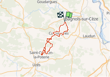
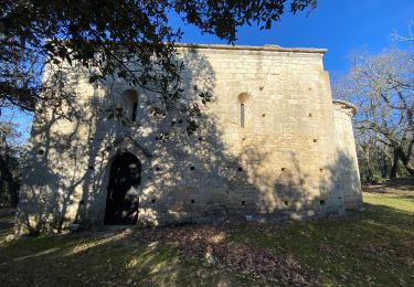
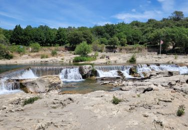
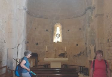
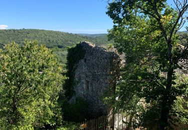
Trail Mountain bike of 55 km to be discovered at Occitania, Gard, Sabran. This trail is proposed by tracegps.
Les Grands Bois est une des circuits de VTT du FFC Uzès et les Collines en Uzège (30 km 470 hm)! Vous pouvez suivre les flèches orange avec numéro 9 à partir de La Bastide d'Engras! J’ai trouvé une route qui part de Sabran jusqu'à La Bastide d'Engras allée et retour qui fait une route totale de 60 Km et 907 altimètre!!
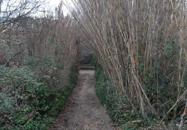

Walking
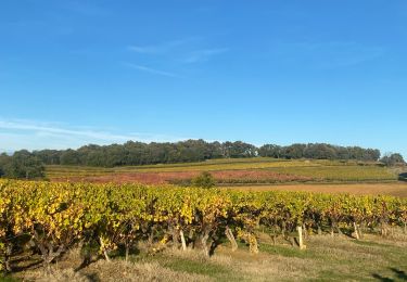
Walking
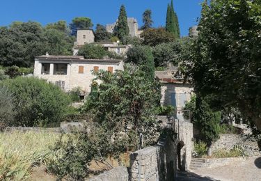
Walking
Walking
Walking
Walking
Walking