
Le sentier aux loups

tracegps
User

Length
14.8 km

Max alt
989 m

Uphill gradient
627 m

Km-Effort
23 km

Min alt
596 m

Downhill gradient
626 m
Boucle
Yes
Creation date :
2014-12-10 00:00:00.0
Updated on :
2014-12-10 00:00:00.0
5h00
Difficulty : Difficult

FREE GPS app for hiking
About
Trail Walking of 14.8 km to be discovered at Auvergne-Rhône-Alpes, Puy-de-Dôme, Valbeleix. This trail is proposed by tracegps.
Description
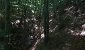
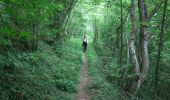
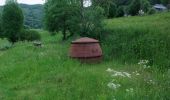
Très belle balade de 5 heures environ à la fois en crête et dans les gorges de Courgoul parmi les bois de hêtres. Montée raide en fin de parcours qui peut-être supprimée en empruntant la route comme raccourci. Circuit impraticable par les VTT.
Positioning
Country:
France
Region :
Auvergne-Rhône-Alpes
Department/Province :
Puy-de-Dôme
Municipality :
Valbeleix
Location:
Unknown
Start:(Dec)
Start:(UTM)
500461 ; 5037776 (31T) N.
Comments
Trails nearby
Cascades de Chiloza


Walking
Medium
(2)
Besse-et-Saint-Anastaise,
Auvergne-Rhône-Alpes,
Puy-de-Dôme,
France

4.6 km | 6.6 km-effort
1h 44min
Yes
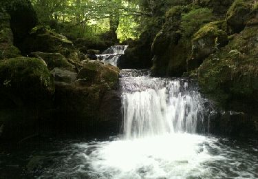
Les cascades de Chiloza


Walking
Easy
(1)
Besse-et-Saint-Anastaise,
Auvergne-Rhône-Alpes,
Puy-de-Dôme,
France

4.9 km | 7 km-effort
1h 39min
Yes
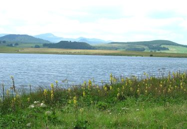
Le Lac de Bourdouze


On foot
Medium
Besse-et-Saint-Anastaise,
Auvergne-Rhône-Alpes,
Puy-de-Dôme,
France

17.4 km | 24 km-effort
5h 22min
Yes
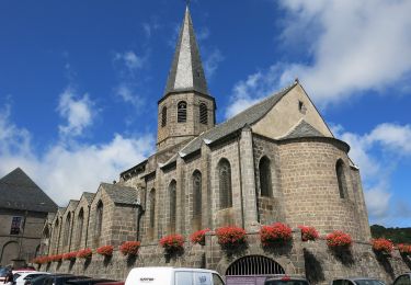
Ourcière


On foot
Easy
Saint-Pierre-Colamine,
Auvergne-Rhône-Alpes,
Puy-de-Dôme,
France

9.5 km | 14 km-effort
3h 10min
Yes
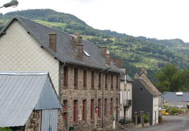
Le Plateau de la Chavade et la Roche Nite


On foot
Medium
Valbeleix,
Auvergne-Rhône-Alpes,
Puy-de-Dôme,
France

15.1 km | 23 km-effort
5h 18min
Yes
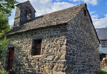
Les-Gorges-de-Courgoul-Marcenat_T


Walking
Very difficult
Courgoul,
Auvergne-Rhône-Alpes,
Puy-de-Dôme,
France

12.7 km | 21 km-effort
3h 36min
Yes
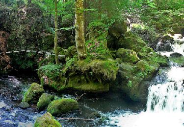
Besse_Pavin_Chiloza


Walking
Medium
Besse-et-Saint-Anastaise,
Auvergne-Rhône-Alpes,
Puy-de-Dôme,
France

18.2 km | 25 km-effort
5h 30min
Yes
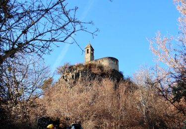
St_Diery_Mont_Carmel


Walking
Difficult
Saint-Diéry,
Auvergne-Rhône-Alpes,
Puy-de-Dôme,
France

16.8 km | 27 km-effort
5h 0min
Yes
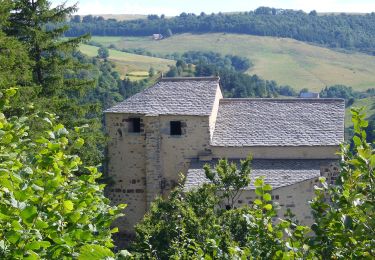
La Chapelle de Roche-Charles


On foot
Easy
Roche-Charles-la-Mayrand,
Auvergne-Rhône-Alpes,
Puy-de-Dôme,
France

4.2 km | 6.4 km-effort
1h 26min
Yes


 SityTrail


