29 km | 35 km-effort
Ethe 24 km 517+
vingilles
User
Length
24 km
Max alt
386 m
Uphill gradient
517 m
Km-Effort
30 km
Min alt
229 m
Downhill gradient
516 m
Boucle
Yes
Creation date :
2019-01-15 15:44:53.398
Updated on :
2019-01-15 15:44:53.398
1h59
Difficulty : Difficult
FREE GPS app for hiking
About
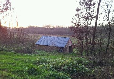
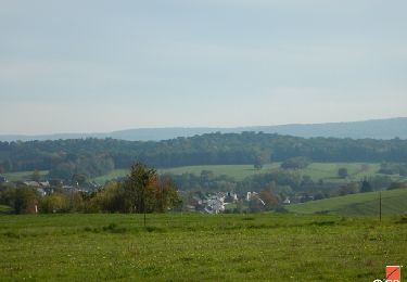
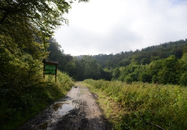
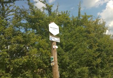
Trail Mountain bike of 24 km to be discovered at Wallonia, Luxembourg, Virton. This trail is proposed by vingilles.
Points of interest
Positioning
Country:
Belgium
Region :
Wallonia
Department/Province :
Luxembourg
Municipality :
Virton
Location:
Virton
Start:(Dec)
Start:(UTM)
684532 ; 5496193 (31U) N.
Comments
Trails nearby
RB-Lu-17_Ethe_via-var-1-et-2-et-3
Walking
Very easy
(3)
Virton,
Wallonia,
Luxembourg,
Belgium
7h 33min
Yes
T2019-06-16-16-47
Mountain bike
Easy
(1)
Virton,
Wallonia,
Luxembourg,
Belgium
21 km | 26 km-effort
1h 40min
Yes
GAUME Balade naturelle et historique
Walking
Very easy
(1)
Virton,
Wallonia,
Luxembourg,
Belgium
5.2 km | 6.8 km-effort
1h 16min
Yes
RB-Lu-17_Ethe_via-racc
Walking
Very easy
Virton,
Wallonia,
Luxembourg,
Belgium
15.6 km | 19.3 km-effort
4h 8min
Yes
RB-Lu-17_Ethe
Walking
Very easy
Virton,
Wallonia,
Luxembourg,
Belgium
22 km | 28 km-effort
5h 55min
Yes
Buzenol - Circuit Natura 2000, des sites qui valent le détour - Lx17
Walking
Medium
(1)
Virton,
Wallonia,
Luxembourg,
Belgium
13.5 km | 16.7 km-effort
2h 0min
Yes
Autour de Tintigny - Balade_VTT_54Kms
Mountain bike
Very difficult
Virton,
Wallonia,
Luxembourg,
Belgium
54 km | 64 km-effort
4h 25min
Yes
Monquintin - Balade_VTT_22Kms
Mountain bike
Medium
Virton,
Wallonia,
Luxembourg,
Belgium
22 km | 26 km-effort
1h 48min
Yes
Orval - Balade_VTT_50Kms
Mountain bike
Very difficult
Virton,
Wallonia,
Luxembourg,
Belgium
50 km | 61 km-effort
4h 15min
No