


22 km | 25 km-effort


User


FREE GPS app for hiking
 SityTrail
IGN / Geographical institutes
SityTrail World
The world is yours!
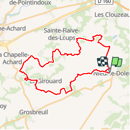
Trail Mountain bike of 37 km to be discovered at Pays de la Loire, Vendée, Nieul-le-Dolent. This trail is proposed by tracegps.
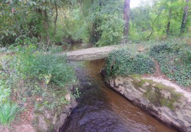
Circuit perso. Beaucoup de bonheur. Attention, quelques passages de gué très humides (passerelles possibles). Essayez le !


Walking
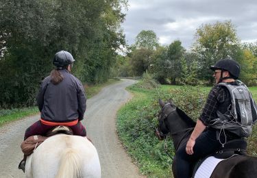
Horseback riding

Walking

On foot

Mountain bike
Walking
Walking
On foot

