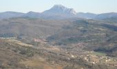
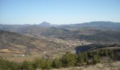
Trail Walking Montazels - Sur les traces de l'abbé Saunière - Photo

Sur les traces de l'abbé Saunière

 tracegps
tracegps

User

© OpenStreetMap contributors
Length
Length
22 km
Max alt
Max alt
523 m
Uphill gradient
Uphill gradient
760 m
Km-Effort
Km-Effort  
32 km
Min alt
Min alt
226 m
Downhill gradient
Downhill gradient
761 m
Boucle
Boucle
Yes
Creation date :
2014-12-10 00:00:00.0
Updated on :
2014-12-10 00:00:00.0

(1 Reviews)

Walking
Walking
5h30
Difficulty : Medium

Scan this QR Code to open this trail in the SityTrail application

FREE GPS app for hiking

Logo SityTrail SityTrail

IGN / Geographical institutes

Download SityTrail from the App Store Download SityTrail from Google Play

Logo SityTrail SityTrail World

The world is yours!

Download SityTrail from the App Store Download SityTrail from Google Play Download SityTrail on Huawei AppGallery

About

Trail Walking of 22 km to be discovered at Occitania, Aude, Montazels. This trail is proposed by tracegps.

Description

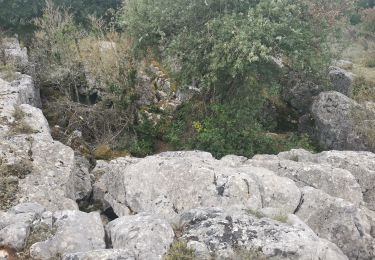
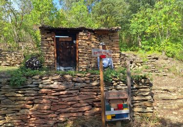
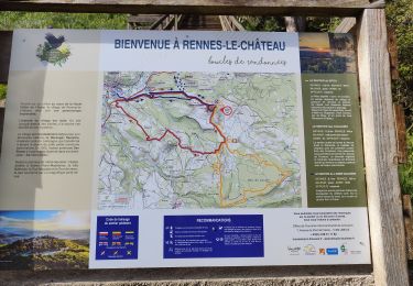
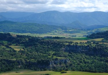
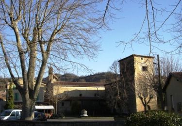
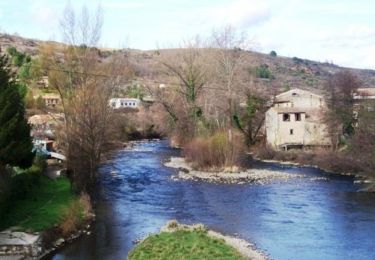
Belle rando au départ de la gare d'Espéraza. Monter au village d'Antugnac par les vignes et ensuite Mont Sec avec sa vue sur le parc éoliens de Roquetaillade et son 360 ° sur la chaine des Pyrénées et la Haute Vallée de l'Aude. Vue superbe sur le pic de Bugarach. Descente vers Montazels (point d'eau à l'église), ancienne cité chapelière et village natal de l'abbé. On traverse l'Aude et nous montons sur Rennes le Château par un superbe sentier. Arrivée au village par l'escalier de la source et passer visiter son église et l'histoire de son curé.(point d'eau). Superbe point de vue et on repart par le sentier "des ritous" (curé en occitan) vers le ruisseau et retour par Pailheres et le plateau de Savounet . Si vous avez le temps, visiter les musées dinosaure et chapellerie (gratuit).

Elevation profile

Photos

Positioning

Country:
France
Region :
Occitania
Department/Province :
Aude
Municipality :
Montazels
Location:
Unknown
Start:(UTM)
437347 ; 4754264 (31T) N.

Comments

Please log in to post a review or rate the element


Trails nearby

Trail Walking Espéraza - Espéraza Alain Crous Antugnac Couiza - Photo
Walking
GUIDE
Ada11

Walking

Medium
(1)
Espéraza, Occitania, Aude, France
19.6 km | 29 km-effort
5h 4min
Yes
Trail Walking Espéraza - Esperaza Rennes le château  - Photo
Walking
GUIDE
Ada11

Walking

Easy
Espéraza, Occitania, Aude, France
14.5 km | 21 km-effort
3h 53min
Yes
Trail Walking Antugnac - Montazels  - Photo
Walking
gogo1965

Walking

Medium
Antugnac, Occitania, Aude, France
3.6 km | 5.1 km-effort
1h 16min
No
Trail Walking Rennes-le-Château - Rennes le Chateau - Photo
Walking
PI11

Walking

Easy
Rennes-le-Château, Occitania, Aude, France
15.6 km | 22 km-effort
5h 26min
Yes
Trail Walking Rennes-le-Château - Rennes le Château  - Photo
Walking
dudu42

Walking

Easy
Rennes-le-Château, Occitania, Aude, France
1.1 km | 1.4 km-effort
23min
Yes
Trail Walking Val-du-Faby - gogo1965 - Photo
Walking
gogo1965

Walking

Easy
Val-du-Faby, Occitania, Aude, France
6.1 km | 7.6 km-effort
1h 31min
No
Trail Walking Couiza - Couiza 12 kms - Photo
Walking
cappelle

Walking

Medium
(1)
Couiza, Occitania, Aude, France
12.7 km | 17.3 km-effort
4h 26min
No
Trail Mountain bike Espéraza - Espace VTT FFC Aude en Pyrénées - Circuit n° 08 - Espéraza / Fa / Rouvenac - Photo
Mountain bike
tracegps

Mountain bike

Difficult
Espéraza, Occitania, Aude, France
19.9 km | 26 km-effort
2h 0min
Yes
Trail Mountain bike Espéraza - Espace VTT FFC Aude en Pyrénées - Circuit n° 05 - Espéraza / Saint Ferriol / Granes  - Photo
Mountain bike
tracegps

Mountain bike

Medium
Espéraza, Occitania, Aude, France
18.1 km | 24 km-effort
1h 30min
Yes


Close
My subscriptions