


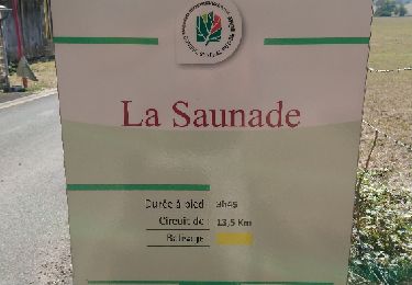
8.1 km | 10.2 km-effort


User


FREE GPS app for hiking
 SityTrail
IGN / Geographical institutes
SityTrail World
The world is yours!
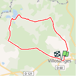
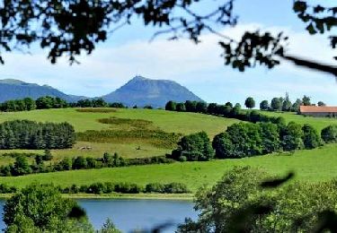
Trail Walking of 8.2 km to be discovered at Auvergne-Rhône-Alpes, Puy-de-Dôme, Villossanges. This trail is proposed by tracegps.
Balade en Combrailles aux alentours de Villosanges. Au hameau de Chauvence une magnifique croix en pierre du XVIe siècle est, fait exceptionnel en Auvergne, ornée d'une piéta sculptée sur l'une de ses faces.


On foot
On foot

On foot
Nordic walking
Walking

On foot
On foot
On foot
Walking