4.5 km | 6.6 km-effort
Rando La Transouillagaise
tracegps
User
Length
62 km
Max alt
328 m
Uphill gradient
1427 m
Km-Effort
81 km
Min alt
89 m
Downhill gradient
1403 m
Boucle
No
Creation date :
2014-12-10 00:00:00.0
Updated on :
2014-12-10 00:00:00.0
4h00
Difficulty : Difficult
FREE GPS app for hiking
About
Trail Mountain bike of 62 km to be discovered at Occitania, Lot, Souillac. This trail is proposed by tracegps.
Description
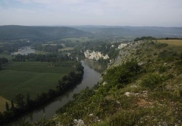
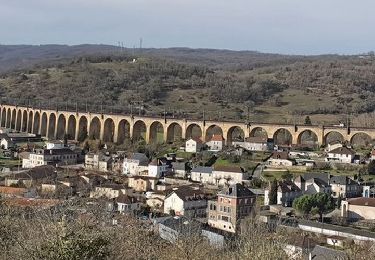
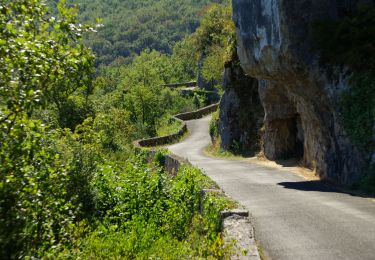
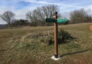
Départ du grand parking près de la piscine. Rando somptueuse en terme de paysage rencontré.
Positioning
Country:
France
Region :
Occitania
Department/Province :
Lot
Municipality :
Souillac
Location:
Unknown
Start:(Dec)
Start:(UTM)
379910 ; 4972320 (31T) N.
Comments
Trails nearby
souillac bord de la dordogne
Walking
Very easy
(2)
Souillac,
Occitania,
Lot,
France
7.9 km | 9.8 km-effort
2h 13min
Yes
Transsouillagaise 2013 - Souillac
Mountain bike
Very difficult
Souillac,
Occitania,
Lot,
France
39 km | 51 km-effort
3h 30min
Yes
Souillac_Pipou
Walking
Medium
(2)
Souillac,
Occitania,
Lot,
France
13.5 km | 18.1 km-effort
4h 15min
Yes
Souillac_Viaduc
Walking
Medium
Souillac,
Occitania,
Lot,
France
12.6 km | 16.3 km-effort
3h 45min
Yes
VALLÉE DE LA DORDOGNE- EST DEPUIS CALVIAC EN PÉRIGORD
Road bike
Difficult
Cazoulès,
New Aquitaine,
Dordogne,
France
73 km | 91 km-effort
6h 55min
No
Souillac-St Cirq-Vallée du Célé-St Céré-Carennac-Turenne
Motorbike
Easy
Souillac,
Occitania,
Lot,
France
224 km | 273 km-effort
5h 0min
No
rouffillac - souillac sud part 2
Walking
Very easy
Lanzac,
Occitania,
Lot,
France
4.8 km | 5.5 km-effort
1h 3min
No
hauts de Cazoules
Walking
Medium
Cazoulès,
New Aquitaine,
Dordogne,
France
17.4 km | 24 km-effort
9h 14min
Yes