


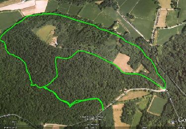
5 km | 5.7 km-effort

User


FREE GPS app for hiking
 SityTrail
IGN / Geographical institutes
SityTrail World
The world is yours!
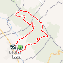
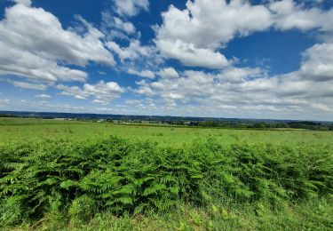
Trail Walking of 9.4 km to be discovered at New Aquitaine, Pyrénées-Atlantiques, Beuste. This trail is proposed by tracegps.
Circuit agréable et sans grande difficulté si ce n'est la montée initiale assez raide entre km 1,5 et 2,5. A éviter en novembre (nombreuses palombières)


Walking

Mountain bike
Walking
On foot

Walking
Mountain bike
Walking
Walking
Walking