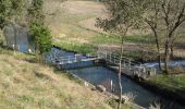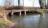

Chadenac circuit n°1

tracegps
User

Length
31 km

Max alt
72 m

Uphill gradient
361 m

Km-Effort
36 km

Min alt
22 m

Downhill gradient
360 m
Boucle
Yes
Creation date :
2014-12-10 00:00:00.0
Updated on :
2014-12-10 00:00:00.0
2h00
Difficulty : Easy

FREE GPS app for hiking
About
Trail Mountain bike of 31 km to be discovered at New Aquitaine, Charente-Maritime, Neulles. This trail is proposed by tracegps.
Description
Chadenac parking du bourg prendre D142 direction Jonzac, à environ 1,8km tourner à gauche sur D249, après la Laiterie tout droit et suivre le circuit flèche jaune et n°1 Bonne balade ! Michel
Points of interest
Positioning
Country:
France
Region :
New Aquitaine
Department/Province :
Charente-Maritime
Municipality :
Neulles
Location:
Unknown
Start:(Dec)
Start:(UTM)
700401 ; 5044215 (30T) N.
Comments
Trails nearby

Marignac


Walking
Very easy
(1)
Marignac,
New Aquitaine,
Charente-Maritime,
France

18.1 km | 21 km-effort
4h 47min
Yes
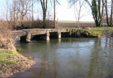
Virée des moulins


Mountain bike
Medium
Chadenac,
New Aquitaine,
Charente-Maritime,
France

26 km | 30 km-effort
2h 0min
Yes
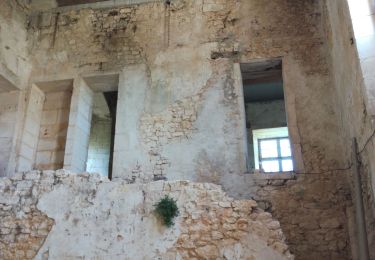
CLAM J Rando


Walking
Difficult
Clam,
New Aquitaine,
Charente-Maritime,
France

13.3 km | 14.8 km-effort
3h 25min
Yes
estuaire


Quad
Very easy
Saint-Georges-Antignac,
New Aquitaine,
Charente-Maritime,
France

163 km | 191 km-effort
9h 16min
No
Randonnée VTT Chadenac 2013


Mountain bike
Medium
Chadenac,
New Aquitaine,
Charente-Maritime,
France

49 km | 56 km-effort
3h 30min
Yes
Virée du Sablon - Chadenac


Mountain bike
Medium
Chadenac,
New Aquitaine,
Charente-Maritime,
France

41 km | 47 km-effort
2h 34min
Yes

Vallée du Né - Chadenac


Mountain bike
Easy
Chadenac,
New Aquitaine,
Charente-Maritime,
France

29 km | 32 km-effort
2h 0min
Yes

St Grégoire A 2019 22km


Walking
Medium
Saint-Grégoire-d'Ardennes,
New Aquitaine,
Charente-Maritime,
France

20 km | 24 km-effort
Unknown
Yes

Randonnée de Chadenac 2011 - 50km


Mountain bike
Medium
Chadenac,
New Aquitaine,
Charente-Maritime,
France

48 km | 55 km-effort
3h 0min
No


 SityTrail


