


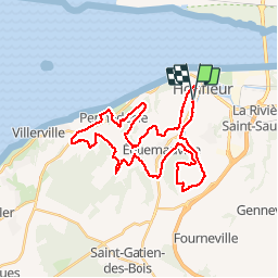


33 km | 41 km-effort

User


FREE GPS app for hiking
 SityTrail
IGN / Geographical institutes
SityTrail World
The world is yours!
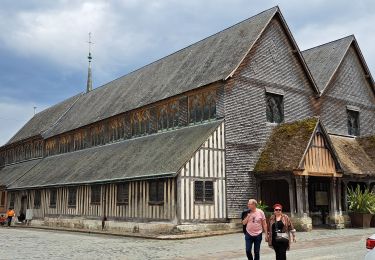
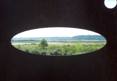
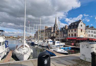
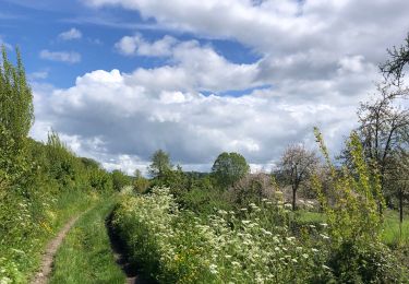
Trail Mountain bike of 33 km to be discovered at Normandy, Calvados, Honfleur. This trail is proposed by tracegps.
Superbe rando, très beau passage dans un bois "Bois du Breuil", passage le long de l'estuaire de la Seine. Au retour, allez faire un tour dans Honfleur, vous ne le regretterez pas.


Walking

Walking

On foot

Walking
Walking
Walking
Walking
Walking