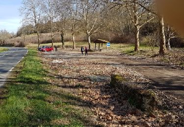
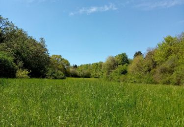
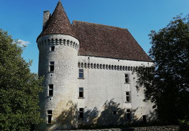
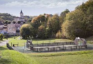
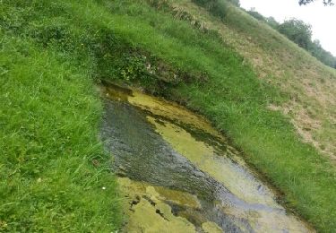
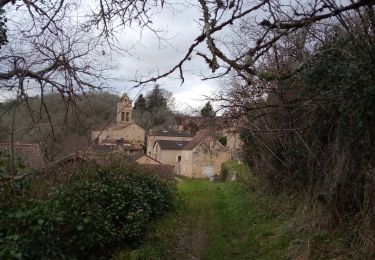
Trail Walking Saint-Félix-de-Villadeix - Saint Félix de Villadeix - Photo
 tracegps
tracegps

User

© OpenStreetMap contributors
Length
Length
15.4 km
Max alt
Max alt
185 m
Uphill gradient
Uphill gradient
287 m
Km-Effort
Km-Effort  
19.2 km
Min alt
Min alt
93 m
Downhill gradient
Downhill gradient
273 m
Boucle
Boucle
Yes
Creation date :
2014-12-10 00:00:00.0
Updated on :
2014-12-10 00:00:00.0

(0 Reviews)

Walking
Walking
3h07
Difficulty : Medium

Scan this QR Code to open this trail in the SityTrail application

FREE GPS app for hiking

Logo SityTrail SityTrail

IGN / Geographical institutes

Download SityTrail from the App Store Download SityTrail from Google Play

Logo SityTrail SityTrail World

The world is yours!

Download SityTrail from the App Store Download SityTrail from Google Play Download SityTrail on Huawei AppGallery

About

Trail Walking of 15.4 km to be discovered at New Aquitaine, Dordogne, Saint-Félix-de-Villadeix. This trail is proposed by tracegps.

Description

Balade autour de Saint Félix de Villadeix, un petit village situé à l’extrême nord du canton de Lalinde. Par le caractère de ses paysages et culture, c’est la fin du Périgord Pourpre et le début du Périgord Noir. On y accède en empruntant la route départementale N°32 qui part de Bergerac (18 Kms) en direction Nord-Est vers Ste Alvère (11 Kms). Autre possibilité, en prenant la RN 21 entre Périgueux et Bergerac. Situé sur la Louyre, sous affluent de la Dordogne, St Félix se partage entre bois et landes, d’une part et prés et culture d’autre part. D’une superficie de 1690 ha dont la moitié est occupée par une forêt périgourdine traditionnelle. La commune compte 293 habitants.(source Mairie de St Félix)

Elevation profile

Positioning

Country:
France
Region :
New Aquitaine
Department/Province :
Dordogne
Municipality :
Saint-Félix-de-Villadeix
Location:
Unknown
Start:(UTM)
316152 ; 4979938 (31T) N.

Trails nearby

Trail On foot Saint-Marcel-du-Périgord - Tiregrand - Photo
On foot
GUIDE+

On foot

Easy
Saint-Marcel-du-Périgord, New Aquitaine, Dordogne, France
9.3 km | 12.4 km-effort
2h 48min
Yes
Trail On foot Saint-Georges-de-Montclard - Boucle de Saint-Georges-de-Monclard - Photo
On foot
GUIDE+

On foot

Easy
Saint-Georges-de-Montclard, New Aquitaine, Dordogne, France
5.8 km | 7.6 km-effort
1h 43min
No
Trail Walking Clermont-de-Beauregard - Boucle de St Martin des Combes - Photo
Walking
swp648

Walking

Easy
Clermont-de-Beauregard, New Aquitaine, Dordogne, France
13.1 km | 15.9 km-effort
3h 14min
Yes
Trail Walking Fouleix - Fouleix - Photo
Walking
swp648

Walking

Easy
Fouleix, New Aquitaine, Dordogne, France
9.4 km | 11.7 km-effort
2h 7min
Yes
Trail Walking Fouleix - St Mayme de P. 20,2km - Photo
Walking
amelie14

Walking

Medium
Fouleix, New Aquitaine, Dordogne, France
20 km | 25 km-effort
3h 41min
Yes
Trail On foot Saint-Félix-de-Villadeix - La Peyrouse - Photo
On foot
GUIDE+

On foot

Easy
Saint-Félix-de-Villadeix, New Aquitaine, Dordogne, France
14.6 km | 18.6 km-effort
4h 13min
Yes
Trail Walking Saint-Michel-de-Villadeix - Boucle des Vallons - Photo
Walking
CC.RIDER

Walking

Difficult
Saint-Michel-de-Villadeix, New Aquitaine, Dordogne, France
12.7 km | 15.9 km-effort
3h 36min
Yes
Trail Walking Beauregard-et-Bassac - Boucle des Fontaines 11,7km - Photo
Walking
amelie14

Walking

Easy
Beauregard-et-Bassac, New Aquitaine, Dordogne, France
11.7 km | 14.5 km-effort
3h 0min
Yes
Trail Walking Pressignac-Vicq - St Marcel du P. 13,1km - Photo
Walking
amelie14

Walking

Medium
Pressignac-Vicq, New Aquitaine, Dordogne, France
13.1 km | 17.3 km-effort
2h 29min
Yes


Close
My subscriptions