


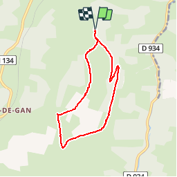

9.8 km | 13.1 km-effort


User


FREE GPS app for hiking
 SityTrail
IGN / Geographical institutes
SityTrail World
The world is yours!
Trail Walking of 7 km to be discovered at New Aquitaine, Pyrénées-Atlantiques, Gan. This trail is proposed by tracegps.
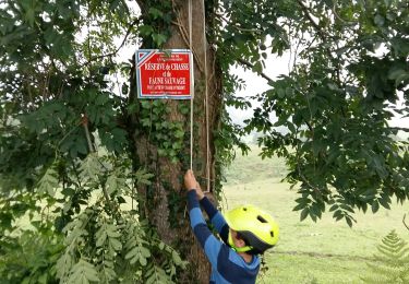
Coteau méconnu et peu fréquenté qui réserve de très belles vues sur les Pyrénées. Accès : prendre à gauche 2,5 km après la sortie de Gan en direction d'Oloron. Continuer sur 1,5 km et se garer au niveau d'un abribus.


On foot
Walking

Walking
Other activity
On foot
Mountain bike
Walking
On foot

Walking