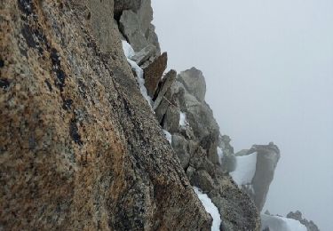
19.8 km | 30 km-effort
SityTrail - Hellbroner Cosmiques
pawenger
User
Length
5.6 km
Max alt
3574 m
Uphill gradient
457 m
Km-Effort
11.2 km
Min alt
3128 m
Downhill gradient
321 m
Boucle
No
Creation date :
2019-01-15 15:33:22.098
Updated on :
2019-01-15 15:33:22.098
--
Difficulty : Difficult
FREE GPS app for hiking
About
Trail Other activity of 5.6 km to be discovered at Auvergne-Rhône-Alpes, Upper Savoy, Chamonix-Mont-Blanc. This trail is proposed by pawenger.
Positioning
Country:
France
Region :
Auvergne-Rhône-Alpes
Department/Province :
Upper Savoy
Municipality :
Chamonix-Mont-Blanc
Location:
Unknown
Start:(Dec)
Start:(UTM)
339382 ; 5079042 (32T) N.
Comments
Trails nearby
vallée blanche
Other activity
Difficult
(1)
Chamonix-Mont-Blanc,
Auvergne-Rhône-Alpes,
Upper Savoy,
France
3h 21min
No
arête des cosmique
Other activity
Difficult
Chamonix-Mont-Blanc,
Auvergne-Rhône-Alpes,
Upper Savoy,
France
4.1 km | 8.1 km-effort
7h 49min
No
TMB - Etape 5
Walking
Difficult
(1)
Courmayeur,
Aosta Valley,
Unknown,
Italy
16.5 km | 34 km-effort
6h 47min
No
TMB Étape 4 : Camping des Grandes Jorasses au Gite de La Peule
Walking
Very difficult
Courmayeur,
Aosta Valley,
Unknown,
Italy
18.6 km | 36 km-effort
8h 11min
No
Brèche Puiseux
Walking
Very difficult
Chamonix-Mont-Blanc,
Auvergne-Rhône-Alpes,
Upper Savoy,
France
28 km | 53 km-effort
4h 1min
No
refuge des grands mulets
Touring skiing
Very easy
Chamonix-Mont-Blanc,
Auvergne-Rhône-Alpes,
Upper Savoy,
France
5.3 km | 13.1 km-effort
3h 9min
No
SityTrail - Vallée Blanche - Chamonix
sport
Very easy
Chamonix-Mont-Blanc,
Auvergne-Rhône-Alpes,
Upper Savoy,
France
15.1 km | 21 km-effort
Unknown
No
Traversée de la vallée Blanche 13.7.22
Walking
Very difficult
Chamonix-Mont-Blanc,
Auvergne-Rhône-Alpes,
Upper Savoy,
France
6.3 km | 11.7 km-effort
3h 0min
No
suuntoapp-SkiTouring-2018-01-28T08-28-00Z-track
Alpine skiing
Difficult
Chamonix-Mont-Blanc,
Auvergne-Rhône-Alpes,
Upper Savoy,
France
23 km | 33 km-effort
4h 6min
No