


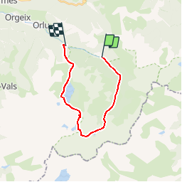


16.8 km | 23 km-effort


User


FREE GPS app for hiking
 SityTrail
IGN / Geographical institutes
SityTrail World
The world is yours!
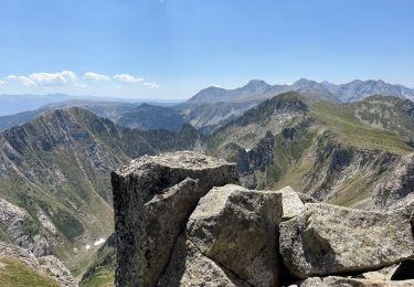
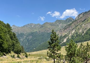
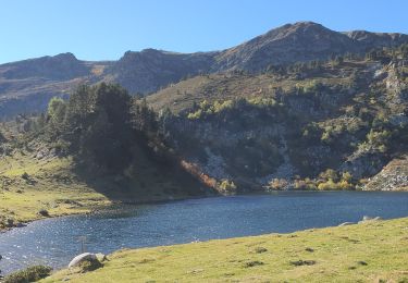
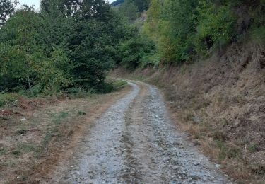
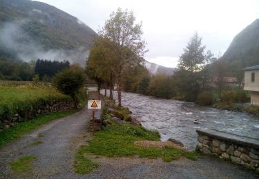
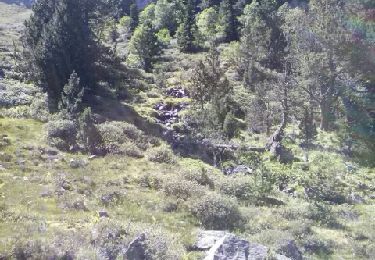
Trail Walking of 18.1 km to be discovered at Occitania, Ariège, Orlu. This trail is proposed by tracegps.
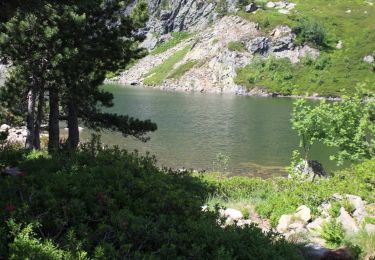
Départ du parking de Caralp, montée dans la réserve d'enBeys, passage par le refuge gardé d'En Beys puis la couillade d'en Beys, redescente par les lacs étangs des Peyrisses et grand lac de Naguille jusqu'au parking de la centrale. A ce parking reprendre la route pour remonter au parking de Caralp.
Walking
Walking
Walking
Walking
Walking
Nordic walking
Walking