

Coteaux de St Faust de Bas

tracegps
User

Length
7.6 km

Max alt
322 m

Uphill gradient
175 m

Km-Effort
9.9 km

Min alt
169 m

Downhill gradient
173 m
Boucle
Yes
Creation date :
2014-12-10 00:00:00.0
Updated on :
2014-12-10 00:00:00.0
2h00
Difficulty : Easy

FREE GPS app for hiking
About
Trail Walking of 7.6 km to be discovered at New Aquitaine, Pyrénées-Atlantiques, Saint-Faust. This trail is proposed by tracegps.
Description
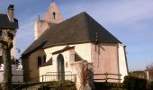
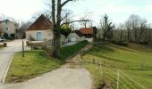
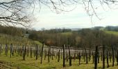
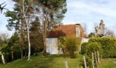
Petite balade facile avec un assemblage de parcours dans les bois, puis dans un vallon isolé avant de terminer en beauté sur une crête offrant une vue admirable des Pyrénées depuis le vignoble des coteaux jurançonnais.
Positioning
Country:
France
Region :
New Aquitaine
Department/Province :
Pyrénées-Atlantiques
Municipality :
Saint-Faust
Location:
Unknown
Start:(Dec)
Start:(UTM)
706556 ; 4796679 (30T) N.
Comments
Trails nearby

Lescar du 2018-06-24


On foot
Very easy
(1)
Lescar,
New Aquitaine,
Pyrénées-Atlantiques,
France

7.6 km | 8.6 km-effort
Unknown
Yes
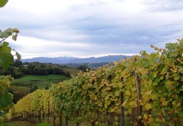
Les vignes en terrasses des collines de Jurançon


Walking
Difficult
(3)
Laroin,
New Aquitaine,
Pyrénées-Atlantiques,
France

19.6 km | 27 km-effort
5h 0min
Yes
ARBUS boucle du bois de bas M2 reco


Walking
Medium
Arbus,
New Aquitaine,
Pyrénées-Atlantiques,
France

7.9 km | 11.2 km-effort
2h 42min
Yes
AUBERTIN (PPT) de la hélère à la baïse fait (G3) 2641287


Walking
Easy
Aubertin,
New Aquitaine,
Pyrénées-Atlantiques,
France

12 km | 17.1 km-effort
3h 13min
Yes
ARBUS Le cap d Arrandes N° 47 balisage et signaletique verticale fait le 15/0...


Walking
Easy
Arbus,
New Aquitaine,
Pyrénées-Atlantiques,
France

4 km | 5.9 km-effort
2h 33min
Yes
BILLÈRE RS Du golf au chateau de Pau 4079692


Walking
Easy
Billère,
New Aquitaine,
Pyrénées-Atlantiques,
France

4.2 km | 4.9 km-effort
1h 32min
Yes
ARTIGUELOUVE LA COMMANDE GR653 G4


Walking
Medium
Artiguelouve,
New Aquitaine,
Pyrénées-Atlantiques,
France

8.4 km | 11 km-effort
2h 29min
No
LONS RS Les vignes 3273591


Walking
Easy
Lons,
New Aquitaine,
Pyrénées-Atlantiques,
France

4 km | 4.8 km-effort
1h 10min
Yes
LESCAR de la cité à la nature


Walking
Medium
Lescar,
New Aquitaine,
Pyrénées-Atlantiques,
France

7.7 km | 8.6 km-effort
1h 59min
Yes


 SityTrail





trop de routes
bien les chemins a pied ou en velo