


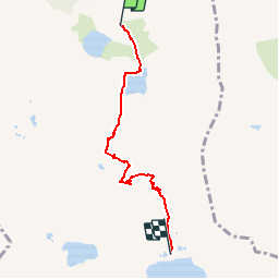

17.4 km | 37 km-effort


User


FREE GPS app for hiking
 SityTrail
IGN / Geographical institutes
SityTrail World
The world is yours!
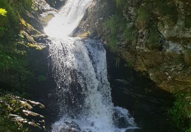
Trail Walking of 4.7 km to be discovered at Occitania, Haute-Garonne, Oô. This trail is proposed by tracegps.
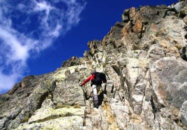
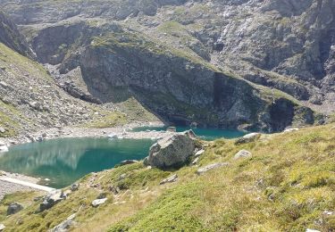
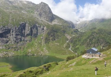
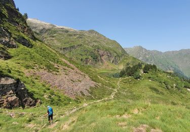
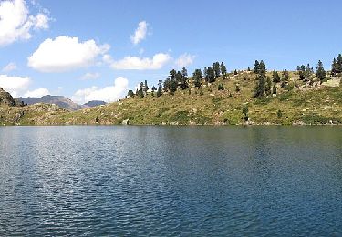
C'est un peu moins l'autoroute que la portion des Granges d'Astau au Lac d'Oô. C'est un peu plus la montagne avant d'arriver au Lac du Portillon avec son grand refuge. C'est une étape d'où l'on peut partir à l'assaut de plusieurs 3000 pyrénéens.

Walking
Walking

On foot

Walking
Walking
Walking
Walking
Walking
On foot