


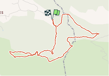

13.7 km | 20 km-effort


User


FREE GPS app for hiking
 SityTrail
IGN / Geographical institutes
SityTrail World
The world is yours!
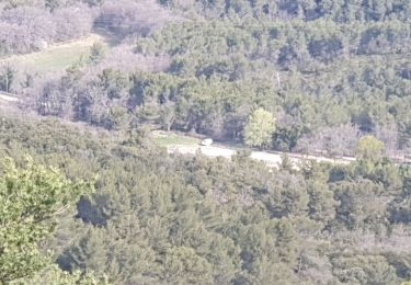
Trail Walking of 6.7 km to be discovered at Provence-Alpes-Côte d'Azur, Bouches-du-Rhône, Simiane-Collongue. This trail is proposed by tracegps.
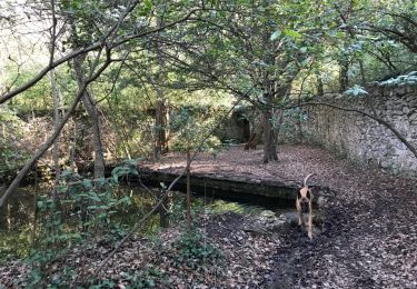
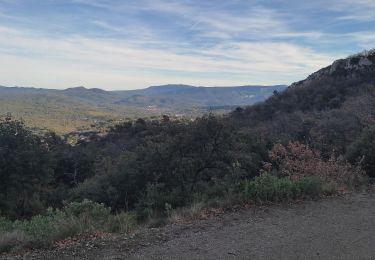
Vue magnifique sur Aix en Provence, Gardanne et sur Marseille. Par temps clair, on peut voir le mont Ventoux, et la chaine des Alpes...

Walking
Walking
Running

Walking

Walking
Walking
Electric bike
Walking
Walking