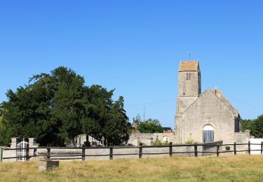
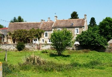
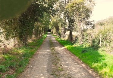
Trail Mountain bike Cintheaux - Pays du Cinglais - Photo

Pays du Cinglais

 tracegps
tracegps

User

© OpenStreetMap contributors
Length
Length
38 km
Max alt
Max alt
176 m
Uphill gradient
Uphill gradient
401 m
Km-Effort
Km-Effort  
43 km
Min alt
Min alt
33 m
Downhill gradient
Downhill gradient
401 m
Boucle
Boucle
Yes
Creation date :
2014-12-10 00:00:00.0
Updated on :
2014-12-10 00:00:00.0

(0 Reviews)

Mountain bike
Mountain bike
2h15
Difficulty : Medium

Scan this QR Code to open this trail in the SityTrail application

FREE GPS app for hiking

Logo SityTrail SityTrail

IGN / Geographical institutes

Download SityTrail from the App Store Download SityTrail from Google Play

Logo SityTrail SityTrail World

The world is yours!

Download SityTrail from the App Store Download SityTrail from Google Play Download SityTrail on Huawei AppGallery

About

Trail Mountain bike of 38 km to be discovered at Normandy, Calvados, Cintheaux. This trail is proposed by tracegps.

Description

Un petit parcours autour de la forêt de Cinglais qui emprunte l'ancienne voie ferrée qui reliait Soumont Saint Quentin à la mine de Gouvix. Quelques portions de route qui reposeront vos jambes des terrains gras de ce mois de Novembre... Malheureusement, pas beaucoup de chemins en forêt de Cinglais. Si vous en connaissez, n'hésitez pas à me les faire connaître ! J'en profite pour proposer mes services aux lecteurs : Si vous avez des parcours à partager sur la basse Normandie et le calvados en particulier, mais que vous ne voulez pas, par manque de temps, trop difficile, etc... Les publier sur TraceGPS.com, merci de me les envoyer à manualator at aliceadsl.fr que je les fasse partager à tous. Plus y en aura, plus on rigolera ! Même adresse si vous souhaitez me faire part de vos remarques concernant mes circuits. (Ou formulez un avis dans la rubrique appropriée ! - note de TraceGps.com)

Elevation profile

Positioning

Country:
France
Region :
Normandy
Department/Province :
Calvados
Municipality :
Cintheaux
Location:
Unknown
Start:(UTM)
697961 ; 5437112 (30U) N.

Trails nearby

Trail Nordic walking Moult-Chicheboville - 41b_les_eoliennes-6844076-1676016099-46 - Photo
Nordic walking
phi14

Nordic walking

Very easy
(1)
Moult-Chicheboville, Normandy, Calvados, France
8.6 km | 9.4 km-effort
Unknown
Yes
Trail On foot Valambray - Au Coeur des Parcs Eoliens - Photo
On foot
GUIDE+

On foot

Easy
Valambray, Normandy, Calvados, France
12.5 km | 13.3 km-effort
3h 1min
Yes
Trail On foot Le Castelet - La Vallée de Conteville - Photo
On foot
GUIDE+

On foot

Easy
Le Castelet, Normandy, Calvados, France
7.4 km | 8.2 km-effort
1h 51min
Yes
Trail Geocaching Barbery - GC745R5 = https://coord.info/GC745R5 - Photo
Geocaching
yannick-p

Geocaching

Easy
Barbery, Normandy, Calvados, France
6.5 km | 7.5 km-effort
2h 40min
Yes
Trail Walking Barbery - Babery Annick - Photo
Walking
gr1346

Walking

Medium
Barbery, Normandy, Calvados, France
9 km | 10.1 km-effort
2h 34min
Yes
Trail On foot Valambray - Autour de Poussy-la-Campagne - Photo
On foot
GUIDE+

On foot

Easy
Valambray, Normandy, Calvados, France
5 km | 5.3 km-effort
1h 12min
Yes
Trail Mountain bike Barbery - VTT autour de Barbery - Photo
Mountain bike
tracegps

Mountain bike

Medium
Barbery, Normandy, Calvados, France
40 km | 47 km-effort
2h 30min
Yes
Trail On foot Bretteville-sur-Laize - Bretteville sur Laize / Urville - Photo
On foot
Privatb

On foot

Easy
(1)
Bretteville-sur-Laize, Normandy, Calvados, France
15.3 km | 18 km-effort
4h 5min
Yes
Trail Walking Gouvix - Gouvix - Photo
Walking
Jeff_314

Walking

Easy
Gouvix, Normandy, Calvados, France
5.7 km | 6.3 km-effort
1h 50min
Yes


Close
My subscriptions