


13 km | 22 km-effort

User


FREE GPS app for hiking
 SityTrail
IGN / Geographical institutes
SityTrail World
The world is yours!
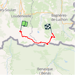
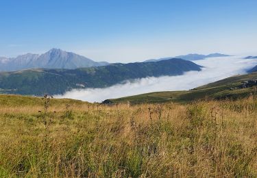
Trail Walking of 31 km to be discovered at Occitania, Hautespyrenees, Loudenvielle. This trail is proposed by tracegps.
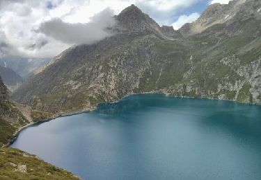
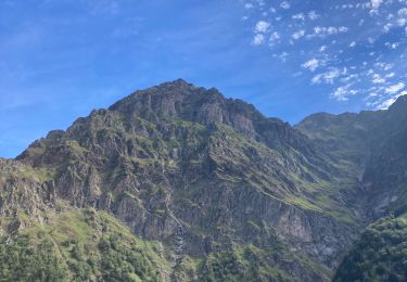
Les Gourgs Blancs Magnifique traversée de Pont du Prat, le lac de Caillauas, au pied des Gourgs Blancs, redescente vers le Lac du Portillon, son refuge. On peut couper la rando en y pasant la nuit. Puis remontée au col de Litérole pour redescendre et remonter au col des Crabioules et retour au pied du Maupas, son refuge et descente vers Luchon par la Vallée du Lys. Attention plusieurs passages délicats de haute montagne !


Walking
Walking

Walking
Walking
Walking
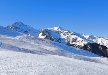
Snowshoes
Walking
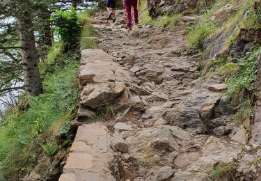
Walking
Walking