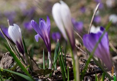
Trail Walking Arvière-en-Valromey - La pierre Chanduraz, 1218m - Photo
 tracegps
tracegps

User

© OpenStreetMap contributors
Length
Length
9.8 km
Max alt
Max alt
1313 m
Uphill gradient
Uphill gradient
747 m
Km-Effort
Km-Effort  
19.8 km
Min alt
Min alt
633 m
Downhill gradient
Downhill gradient
741 m
Boucle
Boucle
Yes
Creation date :
2014-12-10 00:00:00.0
Updated on :
2014-12-10 00:00:00.0

(0 Reviews)

Walking
Walking
4h00
Difficulty : Easy

Scan this QR Code to open this trail in the SityTrail application

FREE GPS app for hiking

Logo SityTrail SityTrail

IGN / Geographical institutes

Download SityTrail from the App Store Download SityTrail from Google Play

Logo SityTrail SityTrail World

The world is yours!

Download SityTrail from the App Store Download SityTrail from Google Play Download SityTrail on Huawei AppGallery

About

Trail Walking of 9.8 km to be discovered at Auvergne-Rhône-Alpes, Ain, Arvière-en-Valromey. This trail is proposed by tracegps.

Description

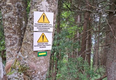
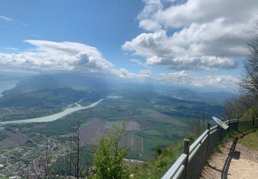
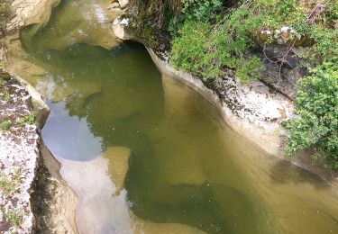
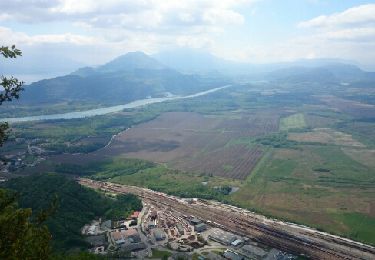
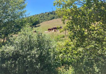
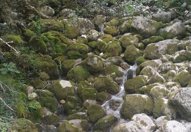
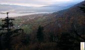
Au départ de Munet, hameau de Virieu-le-Petit, la découverte du massif du Grand Colombier a motivé un nouveau parcours à travers les alpages de Planapose et en Pryse. Le brouillard et les nuages n'ont pas permis de profiter de la superbe vue sur la vallée du Haut-Rhône et la chaîne des Alpes qu'offre normalement le belvédère de la pierre Chanduraz. Le retour par la combe du ruisseau de Brançon est pittoresque. Et, dans son oratoire creusé dans la falaise, la Vierge de la Combe apporterait toujours l'espoir de sa protection au voyageur traversant le passage encaissé… Un ciel dégagé sera l'occasion de revenir, les paysages et l'ambiance de ces montagnes sont très attachants, tranquilles et sauvages. Description complète sur sentier-nature.com : La pierre Chanduraz, 1218m

Elevation profile

Photos

Positioning

Country:
France
Region :
Auvergne-Rhône-Alpes
Department/Province :
Ain
Municipality :
Arvière-en-Valromey
Location:
Virieu-le-Petit
Start:(UTM)
711756 ; 5086272 (31T) N.

Trails nearby

Trail Walking Béon - Pierre chandruraz.  - Photo
Walking
cailloux74

Walking

Very difficult
Béon, Auvergne-Rhône-Alpes, Ain, France
57 km | 84 km-effort
5h 52min
No
Trail sport Culoz - Fenestre - Photo
sport
Biquette73

sport

Very easy
Culoz, Auvergne-Rhône-Alpes, Ain, France
12.4 km | 22 km-effort
Unknown
Yes
Trail Walking Artemare - cascade de cerveyrieu - Photo
Walking
colomb24

Walking

Easy
Artemare, Auvergne-Rhône-Alpes, Ain, France
13.4 km | 19.1 km-effort
5h 27min
Yes
Trail Walking Arvière-en-Valromey - GR 9 - Étape 13 - Chalet d’Arvières - Chanaz - Photo
Walking
pcugnod

Walking

Very difficult
Arvière-en-Valromey, Auvergne-Rhône-Alpes, Ain, France
27 km | 0 m-effort
7h 33min
No
Trail Walking Béon - Roche percée  - Photo
Walking
Arvierie56@Gmail.com

Walking

Medium
Béon, Auvergne-Rhône-Alpes, Ain, France
9.1 km | 16.5 km-effort
2h 58min
Yes
Trail Walking Arvière-en-Valromey - GTJ 13 Chalet d'Arviere/Culoz - Photo
Walking
Praff

Walking

Medium
Arvière-en-Valromey, Auvergne-Rhône-Alpes, Ain, France
20 km | 29 km-effort
6h 18min
No
Trail Walking Arvière-en-Valromey - Colombier - Photo
Walking
mrclic34

Walking

Arvière-en-Valromey, Auvergne-Rhône-Alpes, Ain, France
9.4 km | 15.2 km-effort
4h 7min
Yes
Trail Walking Culoz - le grand colombier - Photo
Walking
tyax93

Walking

Medium
Culoz, Auvergne-Rhône-Alpes, Ain, France
10.8 km | 21 km-effort
2h 59min
No
Trail Walking Arvière-en-Valromey - Le Grand Colombier 1531m depuis Fivole - Photo
Walking
tracegps

Walking

Medium
Arvière-en-Valromey, Auvergne-Rhône-Alpes, Ain, France
12.3 km | 22 km-effort
5h 0min
Yes


Close
My subscriptions