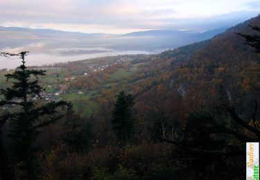
Trail Walking Arvière-en-Valromey - Par les crêtes du Grand Colombier, 1531m - Photo

Par les crêtes du Grand Colombier, 1531m

 tracegps
tracegps

User

© OpenStreetMap contributors
Length
Length
11 km
Max alt
Max alt
1518 m
Uphill gradient
Uphill gradient
663 m
Km-Effort
Km-Effort  
19.8 km
Min alt
Min alt
989 m
Downhill gradient
Downhill gradient
665 m
Boucle
Boucle
Yes
Creation date :
2014-12-10 00:00:00.0
Updated on :
2014-12-10 00:00:00.0

(1 Reviews)

Walking
Walking
4h30
Difficulty : Easy

Scan this QR Code to open this trail in the SityTrail application

FREE GPS app for hiking

Logo SityTrail SityTrail

IGN / Geographical institutes

Download SityTrail from the App Store Download SityTrail from Google Play

Logo SityTrail SityTrail World

The world is yours!

Download SityTrail from the App Store Download SityTrail from Google Play Download SityTrail on Huawei AppGallery

About

Trail Walking of 11 km to be discovered at Auvergne-Rhône-Alpes, Ain, Arvière-en-Valromey. This trail is proposed by tracegps.

Description

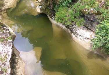
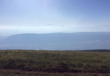
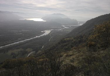
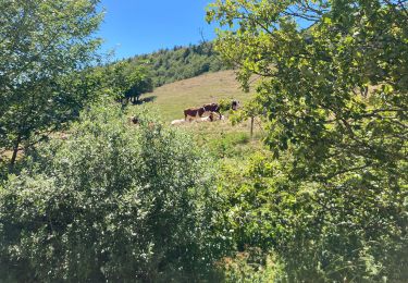
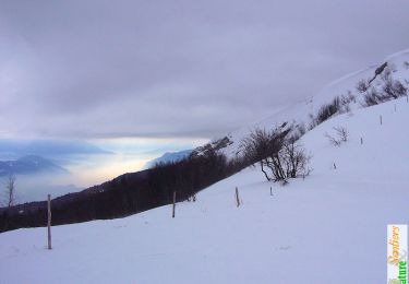
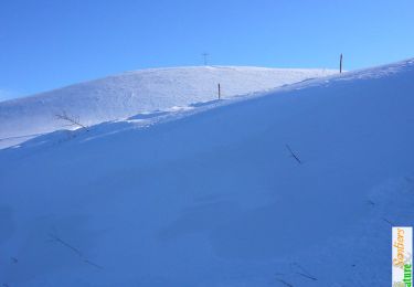
C'est une magnifique randonnée qui passe par un long parcours de crêtes faciles pour offrir un panorama saisissant sur les Alpes du Nord et les grands lacs alpins du Bourget, d'Annecy et Léman. Depuis la Selle de Fromentel, lieu-dit de Virieu le Petit, une piste forestière puis un sentier permettent de monter jusqu'aux Granges du Colombier en traversant le Roc Passin pour gagner le Col de Charbemènes au pied de l'arête Nord du Grand Colombier. C'est alors un parcours qui suit la crête vers le Sud par la croix, le col, le sommet du Colombier, les pierres Fillola et Amion jusqu'à Longechat, où par En Pryse et la Grange de Fivole commence une descente aventureuse avant une courte remontée jusqu'au point de départ. Description complète sur sentier-nature.com : Par les crêtes du Grand Colombier, 1531m

Elevation profile

Photos

Positioning

Country:
France
Region :
Auvergne-Rhône-Alpes
Department/Province :
Ain
Municipality :
Arvière-en-Valromey
Location:
Virieu-le-Petit
Start:(UTM)
712954 ; 5087181 (31T) N.

Comments

Please log in to post a review or rate the element


Trails nearby

Trail Walking Artemare - cascade de cerveyrieu - Photo
Walking
colomb24

Walking

Easy
Artemare, Auvergne-Rhône-Alpes, Ain, France
13.4 km | 19.1 km-effort
5h 27min
Yes
Trail Walking Arvière-en-Valromey - GR 9 - Étape 13 - Chalet d’Arvières - Chanaz - Photo
Walking
pcugnod

Walking

Very difficult
Arvière-en-Valromey, Auvergne-Rhône-Alpes, Ain, France
27 km | 0 m-effort
7h 33min
No
Trail Walking Anglefort - les sarrasins - Photo
Walking
jibe01

Walking

Medium
Anglefort, Auvergne-Rhône-Alpes, Ain, France
10.8 km | 16.3 km-effort
3h 18min
No
Trail Walking Arvière-en-Valromey - GTJ 13 Chalet d'Arviere/Culoz - Photo
Walking
Praff

Walking

Medium
Arvière-en-Valromey, Auvergne-Rhône-Alpes, Ain, France
20 km | 29 km-effort
6h 18min
No
Trail Walking Arvière-en-Valromey - Colombier - Photo
Walking
mrclic34

Walking

Arvière-en-Valromey, Auvergne-Rhône-Alpes, Ain, France
9.4 km | 15.2 km-effort
4h 7min
Yes
Trail Walking Arvière-en-Valromey - Le Grand Colombier 1531m depuis Fivole - Photo
Walking
tracegps

Walking

Medium
Arvière-en-Valromey, Auvergne-Rhône-Alpes, Ain, France
12.3 km | 22 km-effort
5h 0min
Yes
Trail Snowshoes Anglefort - La Croix du Colombier 1525m depuis Bezonne - Photo
Snowshoes
tracegps

Snowshoes

Medium
Anglefort, Auvergne-Rhône-Alpes, Ain, France
14.2 km | 22 km-effort
4h 30min
Yes
Trail Snowshoes Arvière-en-Valromey - Le Roc Passin 1425m, depuis Montclair - Virieu-le-Petit - Photo
Snowshoes
tracegps

Snowshoes

Medium
Arvière-en-Valromey, Auvergne-Rhône-Alpes, Ain, France
10.1 km | 18.7 km-effort
4h 0min
Yes
Trail Walking Arvière-en-Valromey - La pierre Chanduraz, 1218m - Photo
Walking
tracegps

Walking

Easy
Arvière-en-Valromey, Auvergne-Rhône-Alpes, Ain, France
9.8 km | 19.8 km-effort
4h 0min
Yes


Close
My subscriptions