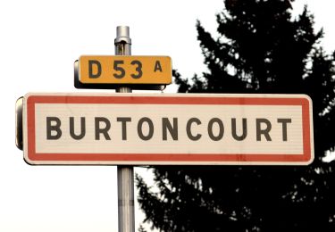
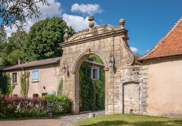
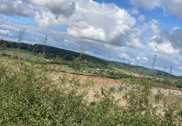
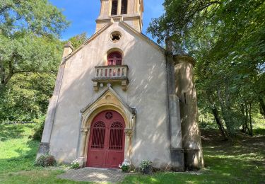
7.4 km | 10 km-effort
Dimanche 26 août 2018
djodjo57300
User
Length
4.8 km
Max alt
330 m
Uphill gradient
92 m
Km-Effort
6.1 km
Min alt
268 m
Downhill gradient
102 m
Boucle
Yes
Creation date :
2019-01-15 15:15:35.704
Updated on :
2019-01-15 15:15:35.704
1h28
Difficulty : Easy
FREE GPS app for hiking
About
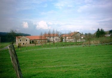
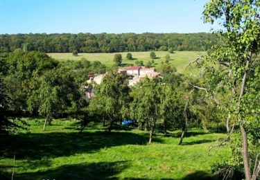
Trail Walking of 4.8 km to be discovered at Grand Est, Moselle, Charleville-sous-Bois. This trail is proposed by djodjo57300.
Description
Promenade
Positioning
Country:
France
Region :
Grand Est
Department/Province :
Moselle
Municipality :
Charleville-sous-Bois
Location:
Unknown
Start:(Dec)
Start:(UTM)
310289 ; 5452537 (32U) N.
Comments
Trails nearby
Circuit le Chene des Moines
On foot
Easy
Saint-Hubert,
Grand Est,
Moselle,
France
7.3 km | 9.2 km-effort
2h 6min
No
Chez Audrey et Laure a la chapelle de Rabas
Horseback riding
Difficult
Saint-Hubert,
Grand Est,
Moselle,
France
24 km | 31 km-effort
4h 7min
Yes
St Hubert -arbre de l’année 2022
Walking
Saint-Hubert,
Grand Est,
Moselle,
France
11 km | 14.2 km-effort
2h 39min
Yes
Circuit la source Charlemagne
On foot
Easy
Saint-Hubert,
Grand Est,
Moselle,
France
6.7 km | 8.8 km-effort
1h 59min
No
Randonnée du Haut Chemin - La source de Charlemagne - Villers Bettnach
Mountain bike
Medium
Saint-Hubert,
Grand Est,
Moselle,
France
11.2 km | 14.6 km-effort
1h 0min
Yes
Randonnée du Haut Chemin - La source de Charlemagne - Villers Bettnach
Walking
Medium
(1)
Saint-Hubert,
Grand Est,
Moselle,
France
11.2 km | 14.6 km-effort
3h 19min
Yes
Randonnée du Haut Chemin - Le chêne des Moines - Villers Bettnach
Mountain bike
Easy
Saint-Hubert,
Grand Est,
Moselle,
France
6.8 km | 8.7 km-effort
30min
Yes
Randonnée du Haut Chemin - Le chêne des Moines - Villers Bettnach
Walking
Medium
Saint-Hubert,
Grand Est,
Moselle,
France
6.8 km | 8.7 km-effort
1h 30min
Yes