

Trail de Sampiero

tracegps
User

Length
12.2 km

Max alt
505 m

Uphill gradient
641 m

Km-Effort
21 km

Min alt
116 m

Downhill gradient
641 m
Boucle
Yes
Creation date :
2014-12-10 00:00:00.0
Updated on :
2014-12-10 00:00:00.0
2h00
Difficulty : Medium

FREE GPS app for hiking
About
Trail Running of 12.2 km to be discovered at Corsica, South Corsica, Eccica-Suarella. This trail is proposed by tracegps.
Description
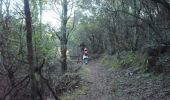
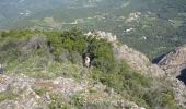
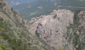
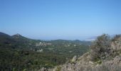
Parcours de 12km de moyenne montagne avec un dénivelé positif de 750m. Le terrain est souple et en majeure partie en sous-bois. Quelques beaux points de vue sur le village et au loin le golfe d'Ajaccio.
Positioning
Country:
France
Region :
Corsica
Department/Province :
South Corsica
Municipality :
Eccica-Suarella
Location:
Unknown
Start:(Dec)
Start:(UTM)
492330 ; 4641228 (32T) N.
Comments
Trails nearby
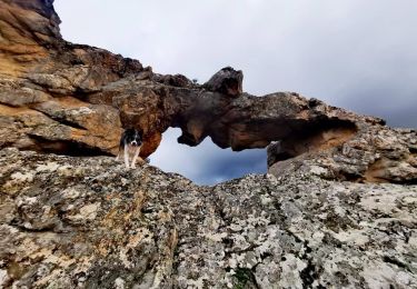
Arche de CAURO


Walking
Easy
(3)
Cauro,
Corsica,
South Corsica,
France

3.9 km | 6.2 km-effort
2h 47min
Yes
vtt cauro accelasca piste ruppione et retour


Mountain bike
Medium
Cauro,
Corsica,
South Corsica,
France

47 km | 56 km-effort
2h 57min
No

Cauro, de Pian di veccia jusqu'au Prunu


Walking
Medium
Eccica-Suarella,
Corsica,
South Corsica,
France

5 km | 9.2 km-effort
2h 6min
No
Ma Mare a Mare centre étape 2: du col St Georges vers Quasquara


Walking
Difficult
Grosseto-Prugna,
Corsica,
South Corsica,
France

14.6 km | 25 km-effort
5h 1min
No
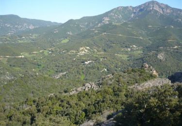
Trail de Sampiero


Walking
Medium
(1)
Eccica-Suarella,
Corsica,
South Corsica,
France

12.2 km | 21 km-effort
3h 30min
Yes

cauro col st Antoine


Walking
Very easy
(1)
Cauro,
Corsica,
South Corsica,
France

11 km | 16.2 km-effort
3h 37min
Yes
Mar A Mar sixième jour


Walking
Very difficult
(1)
Grosseto-Prugna,
Corsica,
South Corsica,
France

18.5 km | 25 km-effort
5h 0min
No
Monte Aragnascu


On foot
Easy
Cuttoli-Corticchiato,
Corsica,
South Corsica,
France

8.1 km | 13.1 km-effort
2h 58min
No


 SityTrail


beau et a l'ombre!!