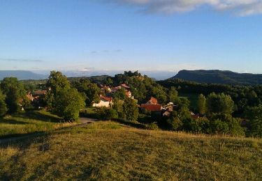
Trail Walking Innimond - La crête d'Innimond, autrement - Photo

La crête d'Innimond, autrement

 tracegps
tracegps

User

© OpenStreetMap contributors
Length
Length
11.3 km
Max alt
Max alt
1155 m
Uphill gradient
Uphill gradient
332 m
Km-Effort
Km-Effort  
15.7 km
Min alt
Min alt
849 m
Downhill gradient
Downhill gradient
332 m
Boucle
Boucle
Yes
Creation date :
2014-12-10 00:00:00.0
Updated on :
2014-12-10 00:00:00.0

(0 Reviews)

Walking
Walking
3h30
Difficulty : Easy

Scan this QR Code to open this trail in the SityTrail application

FREE GPS app for hiking

Logo SityTrail SityTrail

IGN / Geographical institutes

Download SityTrail from the App Store Download SityTrail from Google Play

Logo SityTrail SityTrail World

The world is yours!

Download SityTrail from the App Store Download SityTrail from Google Play Download SityTrail on Huawei AppGallery

About

Trail Walking of 11.3 km to be discovered at Auvergne-Rhône-Alpes, Ain, Innimond. This trail is proposed by tracegps.

Description

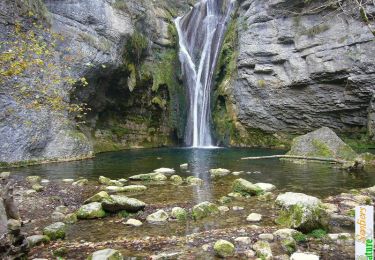
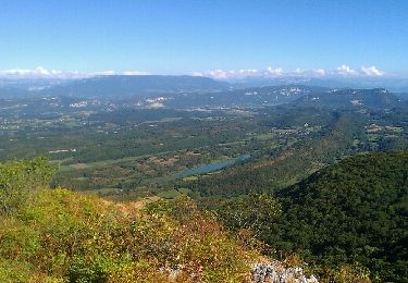
Parcouru il y a quelques temps l'itinéraire décrit est intéressant et renouvelle la classique boucle depuis le village d'Innimond. En traversant vers le Sud-est le Creux sous la Roche jusqu'au bord du plateau pour le suivre vers le Nord et rattraper une bonne sente qui permet de gravir le ressaut sous la Croix de la Roche. De la croix, par le GR, la table d'orientation est vite rejointe pour suivre la piste forestière interdite à la circulation des engins motorisés jusqu'au col du Grand Pertuis. La belle crête du Mont Pela se traverse alors en direction du Sud. Le retour emprunte un bon raccourci pour descendre jusqu'au village. Description complète sur sentier-nature.com : La crête d'Innimond, autrement

Elevation profile

Photos

Positioning

Country:
France
Region :
Auvergne-Rhône-Alpes
Department/Province :
Ain
Municipality :
Innimond
Location:
Unknown
Start:(UTM)
700088 ; 5073232 (31T) N.

Trails nearby

Trail Horseback riding Saint-Germain-les-Paroisses - repérage st germain inimond cheval - Photo
Horseback riding
Nolene

Horseback riding

Medium
(1)
Saint-Germain-les-Paroisses, Auvergne-Rhône-Alpes, Ain, France
14.6 km | 21 km-effort
5h 7min
No
Trail Walking Marchamp - La cascade de la Brive, Cerin et Marchamp - Photo
Walking
tracegps

Walking

Easy
(2)
Marchamp, Auvergne-Rhône-Alpes, Ain, France
8.2 km | 13.8 km-effort
3h 0min
Yes
Trail Mountain bike Innimond - tentanet la graye - Photo
Mountain bike
malc

Mountain bike

Very difficult
Innimond, Auvergne-Rhône-Alpes, Ain, France
48 km | 75 km-effort
3h 50min
Yes
Trail Mountain bike Lhuis - Départ de L’huis montée vers le single du Poulet - Photo
Mountain bike
sandrine-s01

Mountain bike

Difficult
(1)
Lhuis, Auvergne-Rhône-Alpes, Ain, France
19 km | 29 km-effort
1h 48min
Yes
Trail Mountain bike Innimond - innimond-Mollard de don - Photo
Mountain bike
malc

Mountain bike

Medium
(2)
Innimond, Auvergne-Rhône-Alpes, Ain, France
24 km | 33 km-effort
2h 15min
Yes
Trail Walking Ordonnaz - innimond - Photo
Walking
pierre45

Walking

Very easy
(1)
Ordonnaz, Auvergne-Rhône-Alpes, Ain, France
17.6 km | 25 km-effort
5h 18min
Yes
Trail Walking Innimond - Le tour du Fays avec le mollard Rond - Photo
Walking
malc

Walking

Easy
Innimond, Auvergne-Rhône-Alpes, Ain, France
7.8 km | 9.4 km-effort
2h 0min
Yes
Trail Mountain bike Saint-Germain-les-Paroisses - 6-5-15 - Photo
Mountain bike
jeannot01

Mountain bike

Very easy
(1)
Saint-Germain-les-Paroisses, Auvergne-Rhône-Alpes, Ain, France
25 km | 37 km-effort
2h 57min
Yes
Trail Mountain bike Innimond - innimond lompnaz - Photo
Mountain bike
malc

Mountain bike

Medium
Innimond, Auvergne-Rhône-Alpes, Ain, France
16.4 km | 24 km-effort
1h 36min
No


Close
My subscriptions