


24 km | 27 km-effort

User


FREE GPS app for hiking
 SityTrail
IGN / Geographical institutes
SityTrail World
The world is yours!
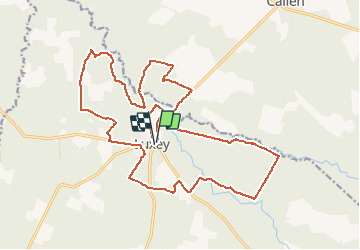
Trail Mountain bike of 25 km to be discovered at New Aquitaine, Landes, Luxey. This trail is proposed by tracegps.
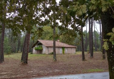
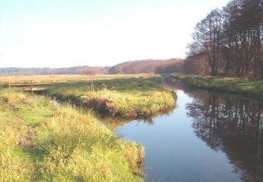
Luxey - Vallée de la Petite Leyre. Intérêt : foret landaise, lagune, vallée de la Petite Leyre, bergerie, four à pain, architecture landaise. Retrouvez d’autres photos et la description complète sur Ciron VTT, des circuits de randonnées VTT et traces GPS dans la vallée du Ciron (Gironde, Landes) et au-delà …

Horseback riding

Canoe - kayak
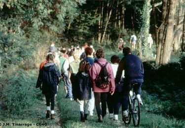
Walking
Walking
Walking

Mountain bike
Walking
Mountain bike

Walking