


4.2 km | 5.8 km-effort


User


FREE GPS app for hiking
 SityTrail
IGN / Geographical institutes
SityTrail World
The world is yours!
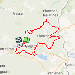
Trail Mountain bike of 37 km to be discovered at Bourgogne-Franche-Comté, Haute-Saône, Champagney. This trail is proposed by tracegps.
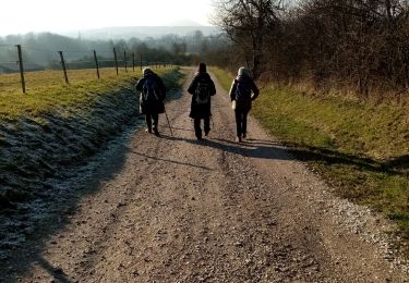
Le départ se fait depuis les Ballastières de Champagney, et démarre tranquillement par du plat, sur une piste en herbe qui longe la route. Très vite, après la traversée de la route , on s'engage dans de jolis sentiers , avec qq racines. Vous longerez le parcours "Vita", faites un sourire aux jogueuses... peu après , qq maisons, quartier du Magny . La vous êtes chaud, ça tombe bien, les choses sérieuses vont commencer. Une belle et petite montée , et vous allez continuer ainsi, à travers le "Pays Sous Vosgien". Allez, bonne balade, pensez à prendre qq nourriture et boisson , surtout!!
Walking
Walking
Walking
Walking
Walking
Walking
Walking
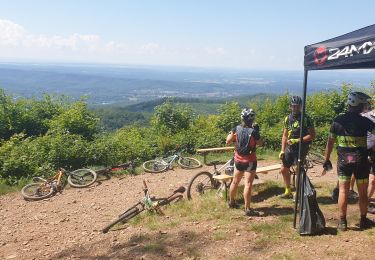
Mountain bike
Mountain bike