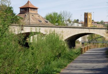
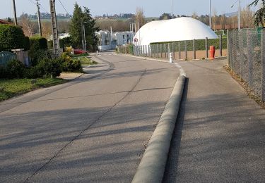
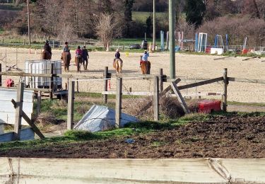
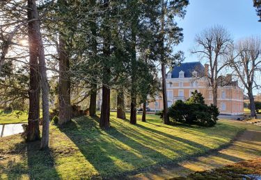
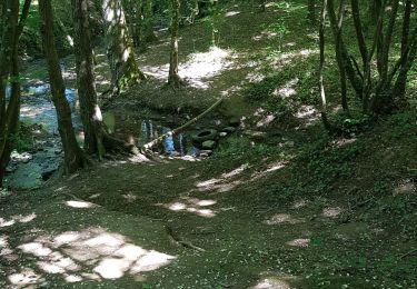
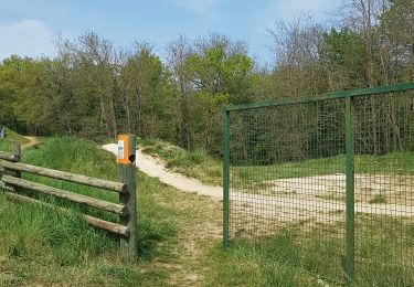
Trail Mountain bike L'Arbresle - L'Arbresle Lyon Ile Barbe - Photo

L'Arbresle Lyon Ile Barbe

 tracegps
tracegps

User

© OpenStreetMap contributors
Length
Length
36 km
Max alt
Max alt
602 m
Uphill gradient
Uphill gradient
770 m
Km-Effort
Km-Effort  
46 km
Min alt
Min alt
185 m
Downhill gradient
Downhill gradient
815 m
Boucle
Boucle
No
Creation date :
2014-12-10 00:00:00.0
Updated on :
2014-12-10 00:00:00.0

(0 Reviews)

Mountain bike
Mountain bike
2h15
Difficulty : Medium

Scan this QR Code to open this trail in the SityTrail application

FREE GPS app for hiking

Logo SityTrail SityTrail

IGN / Geographical institutes

Download SityTrail from the App Store Download SityTrail from Google Play

Logo SityTrail SityTrail World

The world is yours!

Download SityTrail from the App Store Download SityTrail from Google Play Download SityTrail on Huawei AppGallery

About

Trail Mountain bike of 36 km to be discovered at Auvergne-Rhône-Alpes, Rhône, L'Arbresle. This trail is proposed by tracegps.

Description

Je vais travailler en vélo et il est bien difficile de trouver un circuit qui évite les voitures. Marre de me faire gazer ! Ce trajet est le meilleur trouvé. Il est assez long 34km, 800m de dénivelé et pour moi 2h15 de trajet, mais il est agréable il y a de très jolies vues. Il existe plusieurs variantes. Il y a juste environ 2km de chemin (après le chemin du Machi) praticable uniquement en VTT sinon le vélo de route passe partout. Peu après le passage au dessus de l'autoroute, 100m après il y a un ruisseau à passer (2m de large; 20cm de profond (pas la mer à boire)) il y a même un rocher au milieu pour passer à sec. Voila, après 2ans de trajet, le meilleur trouvé jusqu'ici. Pour les pressés Vous pouvez utiliser le circuit de retour : Lyon l'Arbresle, ça passe le matin ou de temps en temps le soir mais il y a bien plus de circulation : 450m de dénivelé 29km et pour moi 1h35 de trajet VTT. (En vélo de route : 1h20 ) .

Elevation profile

Positioning

Country:
France
Region :
Auvergne-Rhône-Alpes
Department/Province :
Rhône
Municipality :
L'Arbresle
Location:
Unknown
Start:(UTM)
624757 ; 5076799 (31T) N.

Trails nearby

Trail Walking L'Arbresle - 2022-04-18_21h43m42_Fiche Verte n°9_L_Arbresle-1 - Photo
Walking
daniellebou

Walking

Medium
(1)
L'Arbresle, Auvergne-Rhône-Alpes, Rhône, France
9.6 km | 11.8 km-effort
2h 40min
Yes
Trail Walking Lentilly - Santier des vaches LENTILLY  - Photo
Walking
Arthurjcm

Walking

Very easy
(1)
Lentilly, Auvergne-Rhône-Alpes, Rhône, France
3.2 km | 4.1 km-effort
51min
Yes
Trail Horseback riding Bully - BULLY  nord 29k 38KF - Photo
Horseback riding
azipat

Horseback riding

Difficult
(1)
Bully, Auvergne-Rhône-Alpes, Rhône, France
30 km | 39 km-effort
5h 9min
Yes
Trail Walking Lentilly - Lentilly 1 La Rivoire - Photo
Walking
Arthurjcm

Walking

Easy
Lentilly, Auvergne-Rhône-Alpes, Rhône, France
5.8 km | 7.2 km-effort
1h 24min
Yes
Trail Walking Sourcieux-les-Mines - 2023-11-27_00h47m21_fiche-verte-n17-sourcieux-les-mines_randonnee-22453089 - Photo
Walking
daniellebou

Walking

Difficult
(1)
Sourcieux-les-Mines, Auvergne-Rhône-Alpes, Rhône, France
11.5 km | 16.3 km-effort
3h 41min
Yes
Trail Walking Bully - bully - Photo
Walking
daniellebou

Walking

Difficult
(1)
Bully, Auvergne-Rhône-Alpes, Rhône, France
10.7 km | 13.6 km-effort
2h 57min
Yes
Trail Walking Châtillon - Châtillon - La vallée de l'Azergues - Photo
Walking
Sigmut

Walking

Easy
Châtillon, Auvergne-Rhône-Alpes, Rhône, France
4.2 km | 5.5 km-effort
1h 33min
Yes
Trail Walking Lentilly - Lentilly - le Poteau - Lévy 18/05/20 - Photo
Walking
Arthurjcm

Walking

Easy
Lentilly, Auvergne-Rhône-Alpes, Rhône, France
6.1 km | 8 km-effort
1h 33min
Yes
Trail Walking Lentilly - sentier bois des tannerie Lentilly - Photo
Walking
Arthurjcm

Walking

Easy
Lentilly, Auvergne-Rhône-Alpes, Rhône, France
4 km | 5.3 km-effort
1h 19min
Yes


Close
My subscriptions