


43 km | 48 km-effort

User


FREE GPS app for hiking
 SityTrail
IGN / Geographical institutes
SityTrail World
The world is yours!
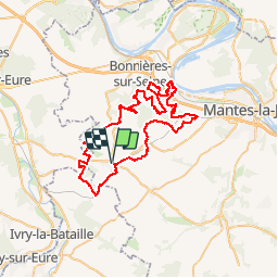
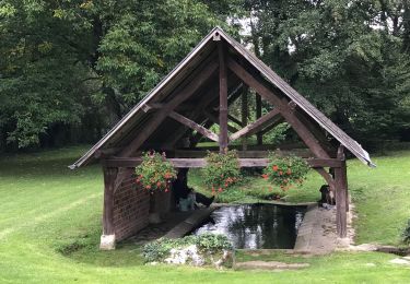
Trail Mountain bike of 60 km to be discovered at Ile-de-France, Yvelines, Bréval. This trail is proposed by tracegps.
Départ du parking de la gare de Breval, les 20 premiers kilomètres en faux plat descendant pour rejoindre la forêt de Roisny sur Seine. Du 21 au 45 km les descentes sinueuses et rapides s'enchaînent avec les montées raides et techniques. Après le 45 km retour vers Breval sur le plateau (attention au vent souvent de face).


Road bike
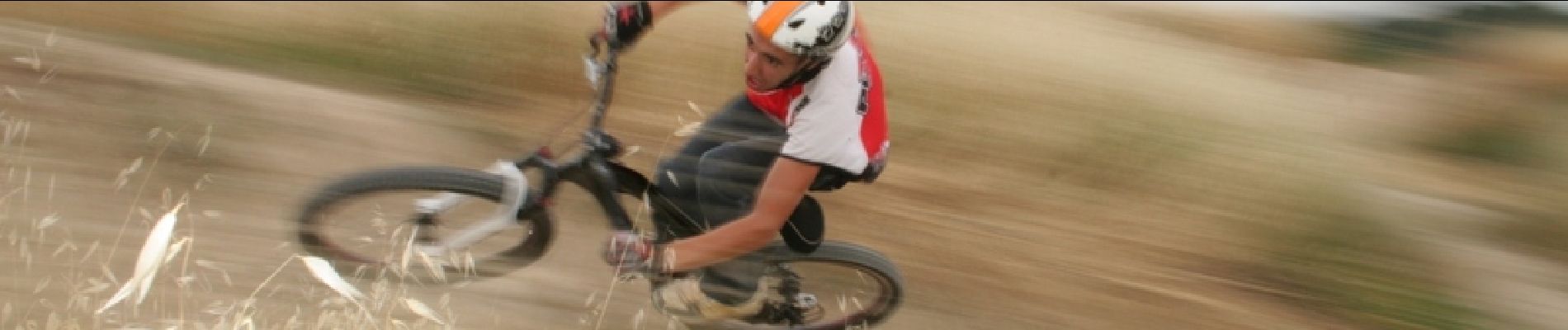
Mountain bike
Walking

sport

Trail
Running

Walking
Walking