


14 km | 25 km-effort

User


FREE GPS app for hiking
 SityTrail
IGN / Geographical institutes
SityTrail World
The world is yours!
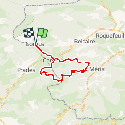
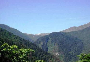
Trail Mountain bike of 26 km to be discovered at Occitania, Aude, Comus. This trail is proposed by tracegps.
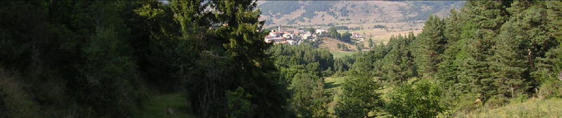
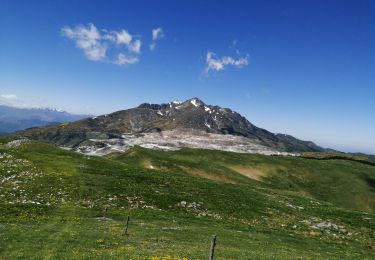
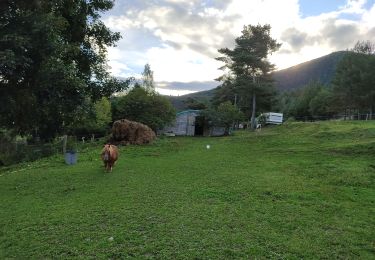
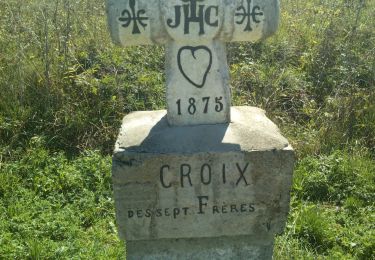
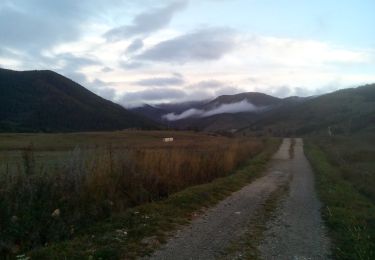
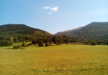
Comus, Gîte d'Etape, proche de la station de ski de fond de Camurac, sur le sentier Gr7 et le Chemin des Bonhommes, point de sortie de notre route. Balisage circuits de VTT nº 24 direction CAMURAC. Nous sommes sur le territoire de SAULT, à Camurac suivez la route D613. A gauche le col des Sept Frères, juste la pendre une route au bois Domeniale de la Niave. Très belle forêt de sapins,laisser une bonne piste à gauche qui descend, et suivre le bois de GEBETS, piste raide, après les prairies d'altitude et le col de CLOT DE LA MORT. Montez au pic de MONTCAMP, très belle vue, descente raide de la piste et arrivée à la partie supérieure de la station de CAMURAC au col de TEIL. Descente vers MONTAILLOU par une piste bonne par le bois de Luzieres, de MONTAILLOU très beau village Cathare, avec château et 2 églises à COMUS par la route.


Walking
Snowshoes
Walking
Walking
Mountain bike
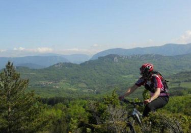
Mountain bike
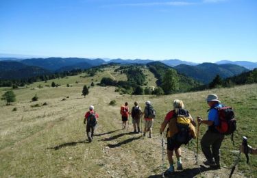
Walking